WSentinel capture software creates 3 primary event files; composite jpg, video(.mp4), and a spreadsheet(.csv) which contains a timehistory of energy, azimuth/elevation, and pixel mapping for the event as seen from the camera location: (see Spreadsheet Column Definitions here).
NOTE: The az/el data in the spreadsheet are approximations and offline calibration is required for refined assessments. Refined calibrations require use of the nightly composites which are available via the link on the right side of this page.
If you don't see an event, or you are looking for data over 30 days old, please contact us at: 
Node Events (last 30 days)
|
|
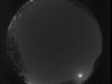
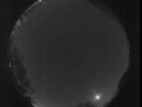
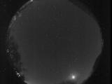
Date: October 29 2025
Time: 04:07:15.988 UTC
|
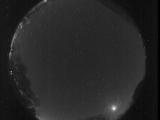
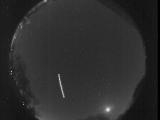
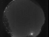
Date: October 29 2025
Time: 04:03:52.997 UTC
|
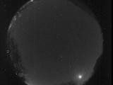
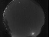
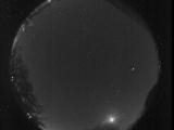
Date: October 29 2025
Time: 04:01:13.388 UTC
|
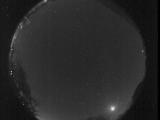
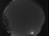
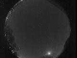
Date: October 29 2025
Time: 03:57:27.787 UTC
|

Date: October 29 2025
Time: 03:54:36.342 UTC
|

Date: October 29 2025
Time: 03:50:52.837 UTC
|

Date: October 29 2025
Time: 03:47:52.468 UTC
|
Date: October 29 2025
Time: 03:44:40.738 UTC
|

Date: October 29 2025
Time: 03:41:26.27 UTC
|

Date: October 29 2025
Time: 03:39:32.258 UTC
|
Date: October 29 2025
Time: 03:34:35.754 UTC
|
Date: October 29 2025
Time: 03:33:28.695 UTC
|

Date: October 29 2025
Time: 03:28:08.874 UTC
|

Date: October 29 2025
Time: 03:25:13.254 UTC
|
Date: October 29 2025
Time: 03:22:00.269 UTC
|
Date: October 29 2025
Time: 03:19:42.373 UTC
|

Date: October 29 2025
Time: 03:15:36.383 UTC
|
Date: October 29 2025
Time: 03:15:33.783 UTC
|
Date: October 29 2025
Time: 03:09:59.323 UTC
|
Date: October 29 2025
Time: 03:07:06.935 UTC
|
|
