WSentinel capture software creates 3 primary event files; composite jpg, video(.mp4), and a spreadsheet(.csv) which contains a timehistory of energy, azimuth/elevation, and pixel mapping for the event as seen from the camera location: (see Spreadsheet Column Definitions here).
NOTE: The az/el data in the spreadsheet are approximations and offline calibration is required for refined assessments. Refined calibrations require use of the nightly composites which are available via the link on the right side of this page.
If you don't see an event, or you are looking for data over 30 days old, please contact us at: 
Node Events (last 30 days)
|
|
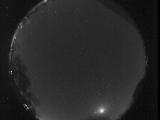
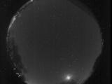
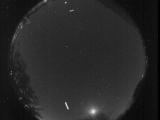
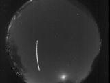
Date: October 29 2025
Time: 03:05:13.160 UTC
|
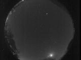
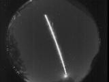
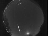
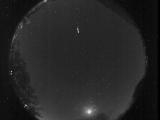
Date: October 29 2025
Time: 03:03:16.419 UTC
|
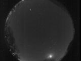
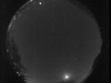
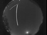
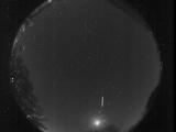
Date: October 29 2025
Time: 02:57:08.989 UTC
|
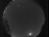
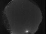
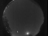
Date: October 29 2025
Time: 02:53:04.439 UTC
|

Date: October 29 2025
Time: 02:51:18.379 UTC
|

Date: October 29 2025
Time: 02:48:18.75 UTC
|
Date: October 29 2025
Time: 02:46:00.323 UTC
|
Date: October 29 2025
Time: 02:39:45.384 UTC
|
Date: October 29 2025
Time: 02:39:18.264 UTC
|

Date: October 29 2025
Time: 02:34:16.425 UTC
|

Date: October 29 2025
Time: 02:30:22.427 UTC
|
Date: October 29 2025
Time: 02:28:52.936 UTC
|
Date: October 29 2025
Time: 02:24:33.235 UTC
|
Date: October 29 2025
Time: 02:24:22.196 UTC
|
Date: October 29 2025
Time: 02:23:48.396 UTC
|

Date: October 29 2025
Time: 02:23:45.825 UTC
|
Date: October 29 2025
Time: 02:20:11.859 UTC
|
Date: October 29 2025
Time: 02:19:49.496 UTC
|
Date: October 29 2025
Time: 02:06:21.175 UTC
|
Date: October 29 2025
Time: 02:02:52.87 UTC
|
|
