WSentinel capture software creates 3 primary event files; composite jpg, video(.mp4), and a spreadsheet(.csv) which contains a timehistory of energy, azimuth/elevation, and pixel mapping for the event as seen from the camera location: (see Spreadsheet Column Definitions here).
NOTE: The az/el data in the spreadsheet are approximations and offline calibration is required for refined assessments. Refined calibrations require use of the nightly composites which are available via the link on the right side of this page.
If you don't see an event, or you are looking for data over 30 days old, please contact us at: 
Node Events (last 30 days)
|
|
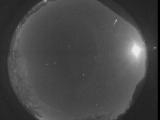
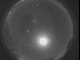
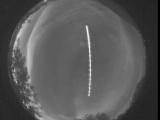
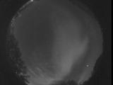
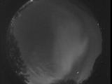
Date: November 5 2025
Time: 12:46:14.930 UTC
|
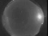
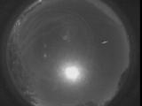
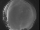
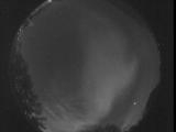
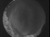
Date: November 5 2025
Time: 12:13:25.279 UTC
|
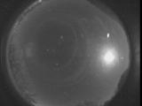
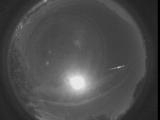
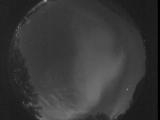
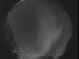
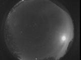
Date: November 5 2025
Time: 11:04:44.289 UTC
|
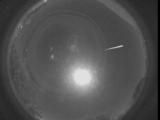
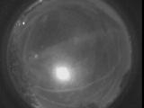
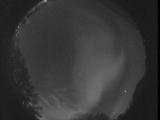
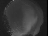
Date: November 5 2025
Time: 07:13:55.495 UTC
|
Date: November 4 2025
Time: 06:40:19.239 UTC
|
Date: November 4 2025
Time: 06:13:31.9 UTC
|
Date: November 4 2025
Time: 05:55:38.798 UTC
|
Date: November 4 2025
Time: 05:17:31.343 UTC
|
Date: November 3 2025
Time: 12:57:56.883 UTC
|
Date: November 3 2025
Time: 12:57:02.728 UTC
|
Date: November 3 2025
Time: 12:35:49.237 UTC
|
Date: November 3 2025
Time: 12:35:40.632 UTC
|

Date: November 3 2025
Time: 12:35:37.894 UTC
|
Date: November 3 2025
Time: 12:35:35.47 UTC
|
Date: November 3 2025
Time: 12:35:30.17 UTC
|
Date: November 3 2025
Time: 12:35:13.310 UTC
|
Date: November 3 2025
Time: 12:35:10.807 UTC
|
Date: November 3 2025
Time: 12:35:06.827 UTC
|
Date: November 3 2025
Time: 12:00:21.247 UTC
|
Date: November 3 2025
Time: 09:11:28.97 UTC
|
|
