WSentinel capture software creates 3 primary event files; composite jpg, video(.mp4), and a spreadsheet(.csv) which contains a timehistory of energy, azimuth/elevation, and pixel mapping for the event as seen from the camera location: (see Spreadsheet Column Definitions here).
NOTE: The az/el data in the spreadsheet are approximations and offline calibration is required for refined assessments. Refined calibrations require use of the nightly composites which are available via the link on the right side of this page.
If you don't see an event, or you are looking for data over 10 days old, please contact us at: 
Node Events (last 30 days)
|
|
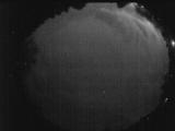
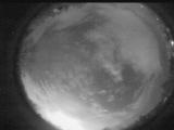
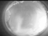
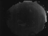
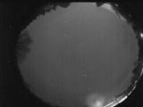
Date: April 15 2026
Time: 05:02:11.131 UTC
|
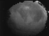
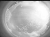
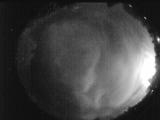
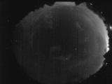
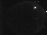
Date: April 15 2026
Time: 04:58:51.233 UTC
|
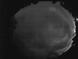
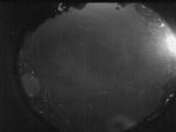
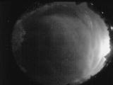
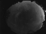
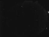
Date: April 15 2026
Time: 04:55:55.723 UTC
|
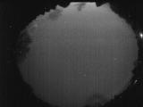
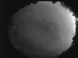
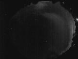
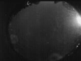
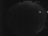
Date: April 15 2026
Time: 02:10:57.183 UTC
|
Date: April 14 2026
Time: 03:55:21.799 UTC
|
Date: April 14 2026
Time: 03:52:56.390 UTC
|
Date: April 14 2026
Time: 03:14:29.976 UTC
|
Date: April 14 2026
Time: 03:08:38.299 UTC
|
Date: April 14 2026
Time: 02:43:32.679 UTC
|
Date: April 14 2026
Time: 02:36:58.452 UTC
|
Date: April 14 2026
Time: 02:33:03.983 UTC
|
Date: April 14 2026
Time: 02:28:32.815 UTC
|
Date: April 14 2026
Time: 02:19:59.809 UTC
|
Date: April 14 2026
Time: 02:18:36.400 UTC
|
Date: April 14 2026
Time: 02:15:54.541 UTC
|
Date: April 13 2026
Time: 04:29:56.814 UTC
|
Date: April 12 2026
Time: 02:06:31.672 UTC
|
Date: April 11 2026
Time: 03:49:37.848 UTC
|
Date: April 11 2026
Time: 03:30:02.546 UTC
|
Date: April 9 2026
Time: 06:46:45.857 UTC
|
|
