WSentinel capture software creates 3 primary event files; composite jpg, video(.mp4), and a spreadsheet(.csv) which contains a timehistory of energy, azimuth/elevation, and pixel mapping for the event as seen from the camera location: (see Spreadsheet Column Definitions here).
NOTE: The az/el data in the spreadsheet are approximations and offline calibration is required for refined assessments. Refined calibrations require use of the nightly composites which are available via the link on the right side of this page.
If you don't see an event, or you are looking for data over 10 days old, please contact us at: 
Node Events (last 30 days)
|
|
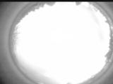
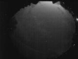
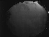
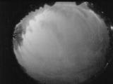
Date: April 15 2026
Time: 05:56:19.868 UTC
|
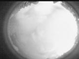
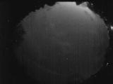
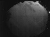
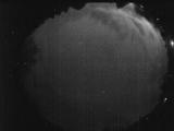
Date: April 15 2026
Time: 05:50:53.750 UTC
|
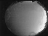
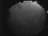
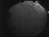
Date: April 15 2026
Time: 05:45:23.382 UTC
|
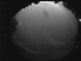
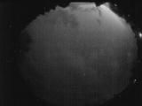
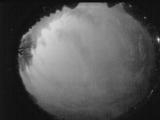
Date: April 15 2026
Time: 05:39:55.694 UTC
|

Date: April 15 2026
Time: 05:34:28.407 UTC
|

Date: April 15 2026
Time: 05:29:01.479 UTC
|
Date: April 15 2026
Time: 05:23:34.731 UTC
|
Date: April 15 2026
Time: 05:17:57.264 UTC
|
Date: April 15 2026
Time: 05:12:27.766 UTC
|
Date: April 15 2026
Time: 05:07:09.159 UTC
|
Date: April 15 2026
Time: 05:05:35.100 UTC
|
Date: April 15 2026
Time: 05:05:30.589 UTC
|
Date: April 15 2026
Time: 05:04:39.169 UTC
|
Date: April 15 2026
Time: 05:04:12.810 UTC
|
Date: April 15 2026
Time: 05:04:02.540 UTC
|
Date: April 15 2026
Time: 05:03:36.380 UTC
|
Date: April 15 2026
Time: 05:03:14.91 UTC
|
Date: April 15 2026
Time: 05:02:50.130 UTC
|
Date: April 15 2026
Time: 05:02:47.530 UTC
|
Date: April 15 2026
Time: 05:02:19.200 UTC
|
|
