WSentinel capture software creates 3 primary event files; composite jpg, video(.mp4), and a spreadsheet(.csv) which contains a timehistory of energy, azimuth/elevation, and pixel mapping for the event as seen from the camera location: (see Spreadsheet Column Definitions here).
NOTE: The az/el data in the spreadsheet are approximations and offline calibration is required for refined assessments. Refined calibrations require use of the nightly composites which are available via the link on the right side of this page.
If you don't see an event, or you are looking for data over 10 days old, please contact us at: 
Node Events (last 30 days)
|
|
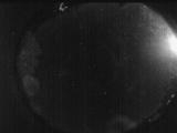
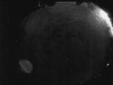
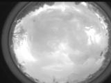
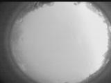
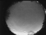
Date: April 20 2026
Time: 05:27:35.379 UTC
|
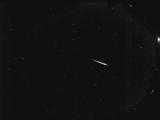
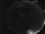
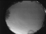
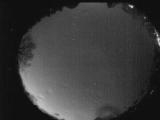
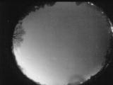
Date: April 20 2026
Time: 05:17:04.93 UTC
|
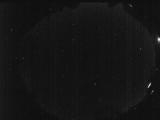
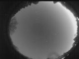
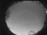
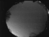
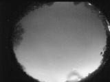
Date: April 20 2026
Time: 05:09:22.437 UTC
|
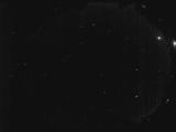
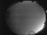
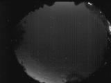
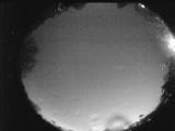
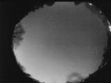
Date: April 20 2026
Time: 03:19:35.293 UTC
|
Date: April 19 2026
Time: 05:34:39.246 UTC
|
Date: April 19 2026
Time: 02:44:27.958 UTC
|
Date: April 19 2026
Time: 02:14:52.670 UTC
|
Date: April 18 2026
Time: 06:21:12.55 UTC
|
Date: April 16 2026
Time: 21:07:21.449 UTC
|
Date: April 15 2026
Time: 06:56:25.322 UTC
|
Date: April 15 2026
Time: 06:51:21.155 UTC
|
Date: April 15 2026
Time: 06:46:08.47 UTC
|
Date: April 15 2026
Time: 06:40:25.179 UTC
|
Date: April 15 2026
Time: 06:34:48.512 UTC
|
Date: April 15 2026
Time: 06:29:15.884 UTC
|
Date: April 15 2026
Time: 06:23:40.57 UTC
|
Date: April 15 2026
Time: 06:18:15.569 UTC
|
Date: April 15 2026
Time: 06:12:41.241 UTC
|
Date: April 15 2026
Time: 06:07:26.193 UTC
|
Date: April 15 2026
Time: 06:01:51.26 UTC
|
|
