WSentinel capture software creates 3 primary event files; composite jpg, video(.mp4), and a spreadsheet(.csv) which contains a timehistory of energy, azimuth/elevation, and pixel mapping for the event as seen from the camera location: (see Spreadsheet Column Definitions here).
NOTE: The az/el data in the spreadsheet are approximations and offline calibration is required for refined assessments. Refined calibrations require use of the nightly composites which are available via the link on the right side of this page.
If you don't see an event, or you are looking for data over 30 days old, please contact us at: 
Node Events (last 30 days)
|
|
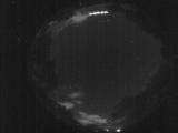
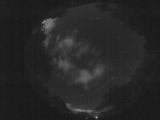
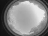
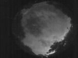
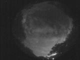
Date: May 26 2025
Time: 02:14:27.264 UTC
|
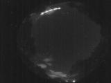
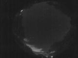
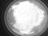
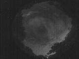
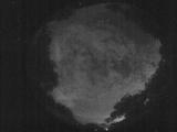
Date: May 26 2025
Time: 02:14:22.333 UTC
|
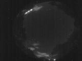
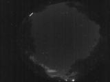
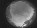
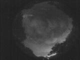
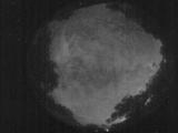
Date: May 26 2025
Time: 02:14:19.523 UTC
|
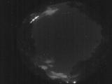
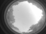
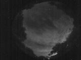
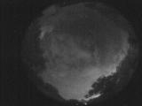
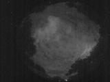
Date: May 26 2025
Time: 02:14:16.354 UTC
|
Date: May 26 2025
Time: 02:08:21.851 UTC
|
Date: May 26 2025
Time: 02:02:51.907 UTC
|
Date: May 26 2025
Time: 01:45:44.657 UTC
|
Date: May 26 2025
Time: 00:50:31.654 UTC
|
Date: May 25 2025
Time: 23:56:48.747 UTC
|
Date: May 25 2025
Time: 10:58:16.788 UTC
|
Date: May 25 2025
Time: 09:51:16.878 UTC
|
Date: May 25 2025
Time: 09:46:46.523 UTC
|
Date: May 25 2025
Time: 09:41:25.50 UTC
|
Date: May 25 2025
Time: 09:35:34.817 UTC
|
Date: May 25 2025
Time: 09:32:35.180 UTC
|
Date: May 25 2025
Time: 09:29:36.534 UTC
|
Date: May 25 2025
Time: 09:27:48.466 UTC
|
Date: May 25 2025
Time: 09:13:40.823 UTC
|
Date: May 25 2025
Time: 09:09:41.398 UTC
|
Date: May 25 2025
Time: 09:02:16.837 UTC
|
|
