WSentinel capture software creates 3 primary event files; composite jpg, video(.mp4), and a spreadsheet(.csv) which contains a timehistory of energy, azimuth/elevation, and pixel mapping for the event as seen from the camera location: (see Spreadsheet Column Definitions here).
NOTE: The az/el data in the spreadsheet are approximations and offline calibration is required for refined assessments. Refined calibrations require use of the nightly composites which are available via the link on the right side of this page.
If you don't see an event, or you are looking for data over 30 days old, please contact us at: 
Node Events (last 30 days)
|
|
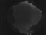
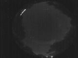
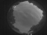
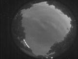
Date: May 25 2025
Time: 03:01:51.119 UTC
|
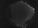
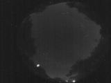
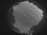
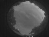
Date: May 25 2025
Time: 02:58:34.464 UTC
|
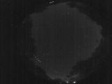
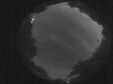
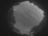
Date: May 25 2025
Time: 01:42:52.364 UTC
|
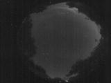
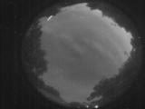
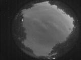
Date: May 25 2025
Time: 01:31:57.267 UTC
|

Date: May 24 2025
Time: 06:54:01.927 UTC
|
Date: May 24 2025
Time: 01:59:12.561 UTC
|
Date: May 24 2025
Time: 01:41:30.352 UTC
|

Date: May 24 2025
Time: 01:41:28.482 UTC
|
Date: May 24 2025
Time: 01:28:54.97 UTC
|
Date: May 24 2025
Time: 01:23:58.82 UTC
|
Date: May 24 2025
Time: 01:23:55.473 UTC
|
Date: May 24 2025
Time: 01:23:52.903 UTC
|
Date: May 24 2025
Time: 01:23:50.343 UTC
|
Date: May 24 2025
Time: 01:23:47.733 UTC
|

Date: May 24 2025
Time: 01:23:45.133 UTC
|

Date: May 24 2025
Time: 01:23:38.693 UTC
|
Date: May 24 2025
Time: 01:23:32.993 UTC
|
Date: May 24 2025
Time: 01:23:30.483 UTC
|

Date: May 24 2025
Time: 01:23:27.883 UTC
|

Date: May 24 2025
Time: 01:23:25.813 UTC
|
|
