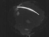
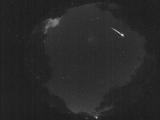
WSentinel capture software creates 3 primary event files; composite jpg, video(.mp4), and a spreadsheet(.csv) which contains a timehistory of energy, azimuth/elevation, and pixel mapping for the event as seen from the camera location: (see Spreadsheet Column Definitions here).
NOTE: The az/el data in the spreadsheet are approximations and offline calibration is required for refined assessments. Refined calibrations require use of the nightly composites which are available via the link on the right side of this page.
If you don't see an event, or you are looking for data over 30 days old, please contact us at: 
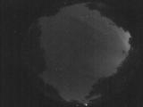
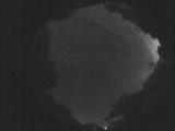
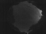
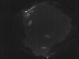
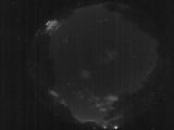
Node Events (last 30 days)
|
|
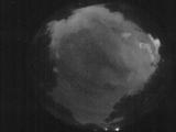
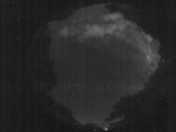
Date: May 26 2025
Time: 09:09:36.286 UTC
|
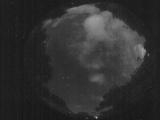
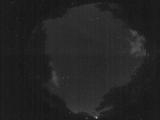
Date: May 26 2025
Time: 09:09:07.296 UTC
|
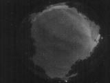
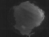
Date: May 26 2025
Time: 09:08:33.926 UTC
|
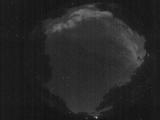
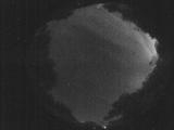
Date: May 26 2025
Time: 09:07:24.398 UTC
|
Date: May 26 2025
Time: 08:28:13.555 UTC
|
Date: May 26 2025
Time: 08:23:51.570 UTC
|
Date: May 26 2025
Time: 08:19:53.105 UTC
|
Date: May 26 2025
Time: 08:17:35.808 UTC
|
Date: May 26 2025
Time: 08:15:16.511 UTC
|
Date: May 26 2025
Time: 08:11:44.405 UTC
|
Date: May 26 2025
Time: 08:10:19.126 UTC
|
Date: May 26 2025
Time: 08:09:00.788 UTC
|
Date: May 26 2025
Time: 08:02:39.886 UTC
|
Date: May 26 2025
Time: 08:01:53.947 UTC
|
Date: May 26 2025
Time: 07:55:54.964 UTC
|
Date: May 26 2025
Time: 05:17:42.364 UTC
|
Date: May 26 2025
Time: 05:17:38.394 UTC
|
Date: May 26 2025
Time: 03:31:14.271 UTC
|
Date: May 26 2025
Time: 02:25:14.590 UTC
|

Date: May 26 2025
Time: 02:19:04.667 UTC
|
|
