WSentinel capture software creates 3 primary event files; composite jpg, video(.mp4), and a spreadsheet(.csv) which contains a timehistory of energy, azimuth/elevation, and pixel mapping for the event as seen from the camera location: (see Spreadsheet Column Definitions here).
NOTE: The az/el data in the spreadsheet are approximations and offline calibration is required for refined assessments. Refined calibrations require use of the nightly composites which are available via the link on the right side of this page.
If you don't see an event, or you are looking for data over 30 days old, please contact us at: 
Node Events (last 30 days)
|
|
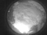
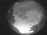
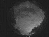
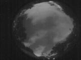
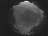
Date: May 25 2025
Time: 08:23:21.713 UTC
|
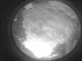
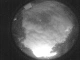
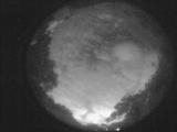
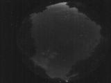
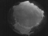
Date: May 25 2025
Time: 08:22:18.644 UTC
|
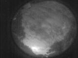
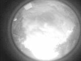
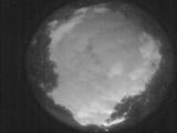
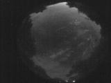
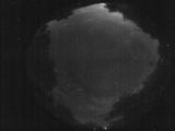
Date: May 25 2025
Time: 08:21:49.855 UTC
|
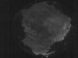
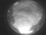
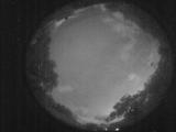
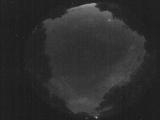
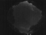
Date: May 25 2025
Time: 08:20:58.536 UTC
|
Date: May 25 2025
Time: 08:20:49.426 UTC
|
Date: May 25 2025
Time: 08:18:01.340 UTC
|
Date: May 25 2025
Time: 08:16:09.332 UTC
|
Date: May 25 2025
Time: 08:15:03.833 UTC
|
Date: May 25 2025
Time: 08:12:56.975 UTC
|
Date: May 25 2025
Time: 08:06:24.273 UTC
|
Date: May 25 2025
Time: 07:53:06.310 UTC
|
Date: May 25 2025
Time: 07:45:53.329 UTC
|
Date: May 25 2025
Time: 06:26:35.313 UTC
|
Date: May 25 2025
Time: 03:33:13.412 UTC
|
Date: May 25 2025
Time: 03:29:29.5 UTC
|
Date: May 25 2025
Time: 03:20:51.577 UTC
|
Date: May 25 2025
Time: 03:17:10.361 UTC
|
Date: May 25 2025
Time: 03:11:05.578 UTC
|
Date: May 25 2025
Time: 03:08:17.721 UTC
|
Date: May 25 2025
Time: 03:04:01.477 UTC
|
|
