WSentinel capture software creates 3 primary event files; composite jpg, video(.mp4), and a spreadsheet(.csv) which contains a timehistory of energy, azimuth/elevation, and pixel mapping for the event as seen from the camera location: (see Spreadsheet Column Definitions here).
NOTE: The az/el data in the spreadsheet are approximations and offline calibration is required for refined assessments. Refined calibrations require use of the nightly composites which are available via the link on the right side of this page.
If you don't see an event, or you are looking for data over 30 days old, please contact us at: 
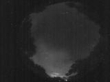
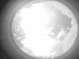
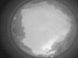
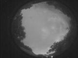
Node Events (last 30 days)
|
|
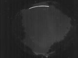
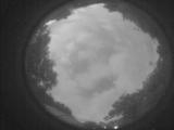
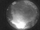
Date: May 27 2025
Time: 02:02:19.503 UTC
|
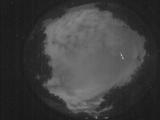
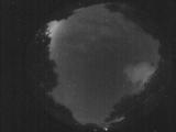
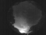
Date: May 27 2025
Time: 01:28:26.335 UTC
|
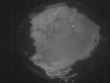
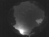
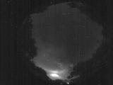
Date: May 27 2025
Time: 01:28:18.294 UTC
|

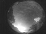
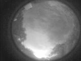
Date: May 27 2025
Time: 01:28:15.584 UTC
|
Date: May 26 2025
Time: 10:50:53.424 UTC
|

Date: May 26 2025
Time: 10:50:50.694 UTC
|
Date: May 26 2025
Time: 10:08:39.645 UTC
|
Date: May 26 2025
Time: 09:53:04.314 UTC
|

Date: May 26 2025
Time: 09:52:22.974 UTC
|

Date: May 26 2025
Time: 09:51:45.75 UTC
|
Date: May 26 2025
Time: 09:51:11.506 UTC
|
Date: May 26 2025
Time: 09:50:32.866 UTC
|
Date: May 26 2025
Time: 09:44:40.433 UTC
|
Date: May 26 2025
Time: 09:43:39.345 UTC
|
Date: May 26 2025
Time: 09:42:50.256 UTC
|
Date: May 26 2025
Time: 09:42:16.596 UTC
|
Date: May 26 2025
Time: 09:38:01.822 UTC
|
Date: May 26 2025
Time: 09:21:21.931 UTC
|
Date: May 26 2025
Time: 09:11:56.323 UTC
|
Date: May 26 2025
Time: 09:10:17.724 UTC
|
|
