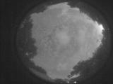
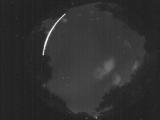
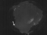
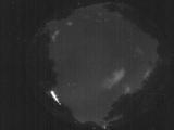
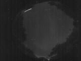
WSentinel capture software creates 3 primary event files; composite jpg, video(.mp4), and a spreadsheet(.csv) which contains a timehistory of energy, azimuth/elevation, and pixel mapping for the event as seen from the camera location: (see Spreadsheet Column Definitions here).
NOTE: The az/el data in the spreadsheet are approximations and offline calibration is required for refined assessments. Refined calibrations require use of the nightly composites which are available via the link on the right side of this page.
If you don't see an event, or you are looking for data over 30 days old, please contact us at: 
Node Events (last 30 days)
|
|
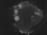
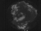
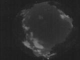
Date: May 28 2025
Time: 03:49:33.514 UTC
|
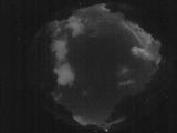
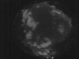
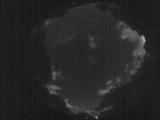
Date: May 28 2025
Time: 03:49:03.285 UTC
|
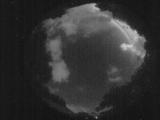
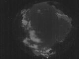
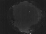
Date: May 28 2025
Time: 03:48:31.786 UTC
|
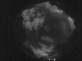
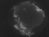
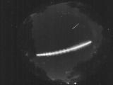
Date: May 28 2025
Time: 03:41:06.265 UTC
|
Date: May 28 2025
Time: 03:38:49.37 UTC
|
Date: May 28 2025
Time: 03:36:54.720 UTC
|
Date: May 28 2025
Time: 03:34:10.333 UTC
|
Date: May 28 2025
Time: 03:33:04.175 UTC
|
Date: May 28 2025
Time: 03:32:35.475 UTC
|
Date: May 28 2025
Time: 03:09:30.822 UTC
|
Date: May 28 2025
Time: 02:35:43.882 UTC
|
Date: May 28 2025
Time: 02:35:21.292 UTC
|
Date: May 28 2025
Time: 01:23:50.798 UTC
|
Date: May 27 2025
Time: 10:10:51.269 UTC
|
Date: May 27 2025
Time: 03:34:46.703 UTC
|
Date: May 27 2025
Time: 03:34:40.793 UTC
|
Date: May 27 2025
Time: 03:34:35.293 UTC
|
Date: May 27 2025
Time: 02:03:44.991 UTC
|
Date: May 27 2025
Time: 02:03:38.312 UTC
|
Date: May 27 2025
Time: 02:02:35.722 UTC
|
|
