WSentinel capture software creates 3 primary event files; composite jpg, video(.mp4), and a spreadsheet(.csv) which contains a timehistory of energy, azimuth/elevation, and pixel mapping for the event as seen from the camera location: (see Spreadsheet Column Definitions here).
NOTE: The az/el data in the spreadsheet are approximations and offline calibration is required for refined assessments. Refined calibrations require use of the nightly composites which are available via the link on the right side of this page.
If you don't see an event, or you are looking for data over 10 days old, please contact us at: 
Node Events (last 30 days)
|
|
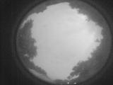
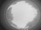
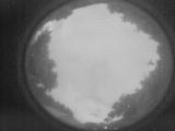
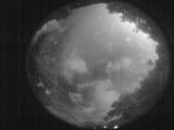
Date: June 19 2026
Time: 01:41:20.512 UTC
|
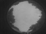
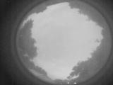
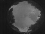
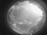
Date: June 19 2026
Time: 01:40:05.73 UTC
|
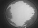
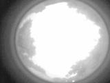
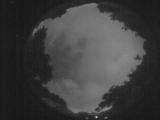
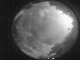
Date: June 19 2026
Time: 01:39:44.254 UTC
|
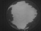
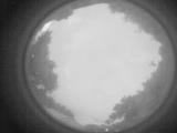
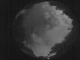
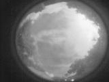
Date: June 19 2026
Time: 01:39:32.784 UTC
|
Date: June 19 2026
Time: 01:35:02.189 UTC
|
Date: June 19 2026
Time: 01:34:55.949 UTC
|
Date: June 19 2026
Time: 01:31:23.212 UTC
|
Date: June 18 2026
Time: 10:07:38.803 UTC
|
Date: June 18 2026
Time: 10:02:36.378 UTC
|
Date: June 18 2026
Time: 09:55:05.45 UTC
|
Date: June 18 2026
Time: 09:36:40.698 UTC
|
Date: June 18 2026
Time: 09:28:25.86 UTC
|
Date: June 18 2026
Time: 09:23:07.382 UTC
|
Date: June 18 2026
Time: 09:18:11.67 UTC
|
Date: June 18 2026
Time: 09:12:03.753 UTC
|
Date: June 18 2026
Time: 09:06:46.410 UTC
|
Date: June 18 2026
Time: 09:05:22.832 UTC
|
Date: June 18 2026
Time: 09:04:44.462 UTC
|
Date: June 18 2026
Time: 09:04:08.163 UTC
|
Date: June 18 2026
Time: 09:03:48.814 UTC
|
|
