WSentinel capture software creates 3 primary event files; composite jpg, video(.mp4), and a spreadsheet(.csv) which contains a timehistory of energy, azimuth/elevation, and pixel mapping for the event as seen from the camera location: (see Spreadsheet Column Definitions here).
NOTE: The az/el data in the spreadsheet are approximations and offline calibration is required for refined assessments. Refined calibrations require use of the nightly composites which are available via the link on the right side of this page.
If you don't see an event, or you are looking for data over 10 days old, please contact us at: 
Node Events (last 30 days)
|
|
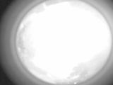
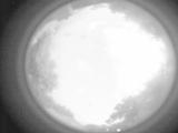
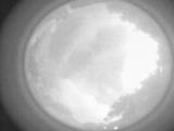
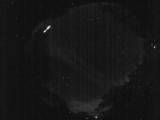
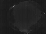
Date: June 18 2026
Time: 09:03:13.274 UTC
|
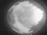
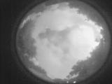
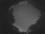
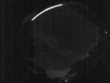
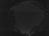
Date: June 18 2026
Time: 09:02:48.155 UTC
|
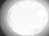
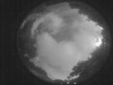
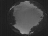
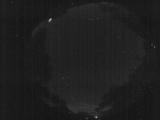
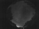
Date: June 18 2026
Time: 09:01:52.667 UTC
|
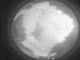
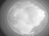
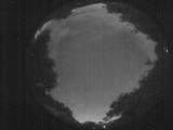
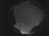
Date: June 18 2026
Time: 09:01:13.727 UTC
|
Date: June 18 2026
Time: 09:00:26.649 UTC
|
Date: June 18 2026
Time: 08:59:46.309 UTC
|
Date: June 18 2026
Time: 08:57:56.211 UTC
|
Date: June 18 2026
Time: 08:57:17.242 UTC
|
Date: June 18 2026
Time: 08:55:36.404 UTC
|
Date: June 17 2026
Time: 02:56:55.13 UTC
|
Date: June 17 2026
Time: 02:45:40.367 UTC
|
Date: June 17 2026
Time: 02:45:33.727 UTC
|
Date: June 17 2026
Time: 00:50:07.48 UTC
|
Date: June 16 2026
Time: 05:09:38.928 UTC
|
Date: June 16 2026
Time: 05:09:27.218 UTC
|
Date: June 16 2026
Time: 05:01:29.759 UTC
|
Date: June 16 2026
Time: 05:01:25.359 UTC
|
Date: June 16 2026
Time: 05:01:23.49 UTC
|
Date: June 16 2026
Time: 03:22:23.210 UTC
|
Date: June 16 2026
Time: 03:13:30.700 UTC
|
|
