WSentinel capture software creates 3 primary event files; composite jpg, video(.mp4), and a spreadsheet(.csv) which contains a timehistory of energy, azimuth/elevation, and pixel mapping for the event as seen from the camera location: (see Spreadsheet Column Definitions here).
NOTE: The az/el data in the spreadsheet are approximations and offline calibration is required for refined assessments. Refined calibrations require use of the nightly composites which are available via the link on the right side of this page.
If you don't see an event, or you are looking for data over 10 days old, please contact us at: 
Node Events (last 30 days)
|
|
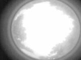
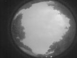
Date: June 19 2026
Time: 02:53:19.636 UTC
|
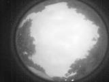
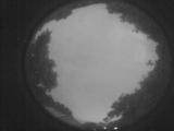
Date: June 19 2026
Time: 02:47:52.791 UTC
|
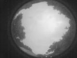
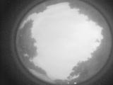
Date: June 19 2026
Time: 02:42:21.709 UTC
|
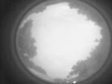
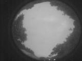
Date: June 19 2026
Time: 02:36:57.536 UTC
|
Date: June 19 2026
Time: 02:31:31.292 UTC
|
Date: June 19 2026
Time: 02:26:03.809 UTC
|
Date: June 19 2026
Time: 02:20:32.396 UTC
|

Date: June 19 2026
Time: 02:15:09.152 UTC
|
Date: June 19 2026
Time: 02:09:41.639 UTC
|
Date: June 19 2026
Time: 02:04:18.796 UTC
|
Date: June 19 2026
Time: 01:58:41.43 UTC
|
Date: June 19 2026
Time: 01:53:13.470 UTC
|
Date: June 19 2026
Time: 01:47:50.626 UTC
|
Date: June 19 2026
Time: 01:46:30.517 UTC
|
Date: June 19 2026
Time: 01:46:13.728 UTC
|
Date: June 19 2026
Time: 01:45:42.867 UTC
|
Date: June 19 2026
Time: 01:44:07.480 UTC
|
Date: June 19 2026
Time: 01:42:06.462 UTC
|
Date: June 19 2026
Time: 01:42:00.922 UTC
|
Date: June 19 2026
Time: 01:41:23.722 UTC
|
|
