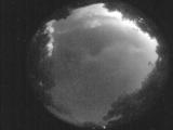
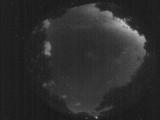
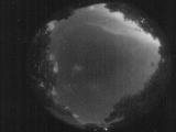
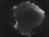
WSentinel capture software creates 3 primary event files; composite jpg, video(.mp4), and a spreadsheet(.csv) which contains a timehistory of energy, azimuth/elevation, and pixel mapping for the event as seen from the camera location: (see Spreadsheet Column Definitions here).
NOTE: The az/el data in the spreadsheet are approximations and offline calibration is required for refined assessments. Refined calibrations require use of the nightly composites which are available via the link on the right side of this page.
If you don't see an event, or you are looking for data over 30 days old, please contact us at: 
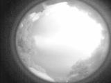
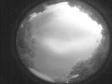
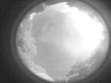
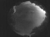
Node Events (last 30 days)
|
|
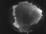
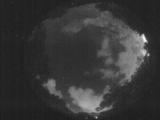
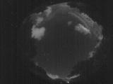
Date: May 28 2025
Time: 05:05:25.893 UTC
|
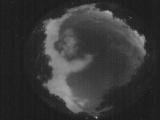
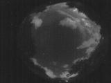
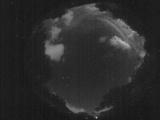
Date: May 28 2025
Time: 05:00:00.791 UTC
|
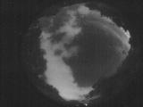
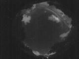
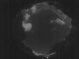
Date: May 28 2025
Time: 04:54:30.606 UTC
|
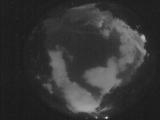
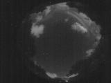
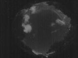
Date: May 28 2025
Time: 04:49:07.963 UTC
|
Date: May 28 2025
Time: 04:43:39.179 UTC
|
Date: May 28 2025
Time: 04:38:09.806 UTC
|
Date: May 28 2025
Time: 04:32:42.722 UTC
|
Date: May 28 2025
Time: 04:27:28.119 UTC
|
Date: May 28 2025
Time: 04:22:03.415 UTC
|
Date: May 28 2025
Time: 04:16:28.262 UTC
|
Date: May 28 2025
Time: 04:11:31.78 UTC
|
Date: May 28 2025
Time: 04:05:58.855 UTC
|
Date: May 28 2025
Time: 04:00:34.111 UTC
|
Date: May 28 2025
Time: 03:55:00.128 UTC
|
Date: May 28 2025
Time: 03:53:00.249 UTC
|
Date: May 28 2025
Time: 03:52:09.130 UTC
|
Date: May 28 2025
Time: 03:51:39.71 UTC
|
Date: May 28 2025
Time: 03:50:58.692 UTC
|
Date: May 28 2025
Time: 03:50:35.743 UTC
|
Date: May 28 2025
Time: 03:50:02.614 UTC
|
|
