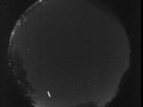
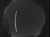
WSentinel capture software creates 3 primary event files; composite jpg, video(.mp4), and a spreadsheet(.csv) which contains a timehistory of energy, azimuth/elevation, and pixel mapping for the event as seen from the camera location: (see Spreadsheet Column Definitions here).
NOTE: The az/el data in the spreadsheet are approximations and offline calibration is required for refined assessments. Refined calibrations require use of the nightly composites which are available via the link on the right side of this page.
If you don't see an event, or you are looking for data over 30 days old, please contact us at: 
Node Events (last 30 days)
|
|
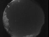
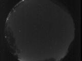
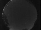
Date: October 29 2025
Time: 10:15:53.609 UTC
|
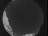
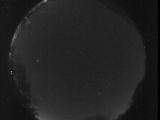
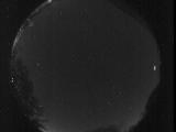
Date: October 29 2025
Time: 10:15:45.800 UTC
|

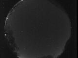
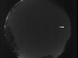
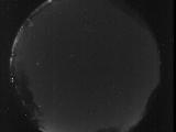
Date: October 29 2025
Time: 10:15:43.321 UTC
|
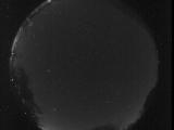
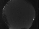
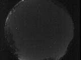
Date: October 29 2025
Time: 09:45:49.674 UTC
|
Date: October 29 2025
Time: 09:44:49.24 UTC
|
Date: October 29 2025
Time: 09:04:40.979 UTC
|
Date: October 29 2025
Time: 09:01:26.383 UTC
|
Date: October 29 2025
Time: 09:00:50.499 UTC
|

Date: October 29 2025
Time: 08:41:26.418 UTC
|
Date: October 29 2025
Time: 08:41:14.668 UTC
|
Date: October 29 2025
Time: 08:41:07.332 UTC
|
Date: October 29 2025
Time: 08:41:04.398 UTC
|
Date: October 29 2025
Time: 08:36:08.647 UTC
|

Date: October 29 2025
Time: 08:28:10.818 UTC
|
Date: October 29 2025
Time: 08:26:08.708 UTC
|
Date: October 29 2025
Time: 08:20:25.190 UTC
|
Date: October 29 2025
Time: 08:19:54.722 UTC
|

Date: October 29 2025
Time: 08:10:14.272 UTC
|

Date: October 29 2025
Time: 08:02:21.227 UTC
|
Date: October 29 2025
Time: 06:40:06.638 UTC
|
|
