WSentinel capture software creates 3 primary event files; composite jpg, video(.mp4), and a spreadsheet(.csv) which contains a timehistory of energy, azimuth/elevation, and pixel mapping for the event as seen from the camera location: (see Spreadsheet Column Definitions here).
NOTE: The az/el data in the spreadsheet are approximations and offline calibration is required for refined assessments. Refined calibrations require use of the nightly composites which are available via the link on the right side of this page.
If you don't see an event, or you are looking for data over 30 days old, please contact us at: 
Node Events (last 30 days)
|
|
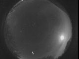
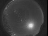
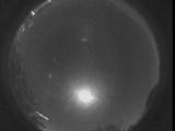
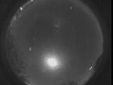
Date: November 3 2025
Time: 09:11:15.870 UTC
|
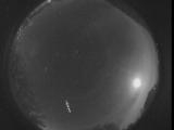
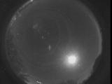
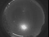
Date: November 3 2025
Time: 09:11:09.852 UTC
|

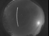
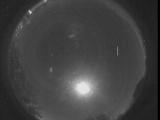
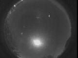
Date: November 3 2025
Time: 09:11:07.512 UTC
|
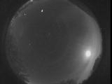
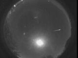
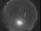
Date: November 3 2025
Time: 09:10:42.290 UTC
|
Date: November 3 2025
Time: 09:10:28.776 UTC
|
Date: November 3 2025
Time: 07:11:55.140 UTC
|
Date: November 3 2025
Time: 07:11:50.307 UTC
|

Date: November 3 2025
Time: 07:11:47.737 UTC
|

Date: November 3 2025
Time: 05:32:20.513 UTC
|
Date: November 3 2025
Time: 05:32:16.177 UTC
|
Date: November 3 2025
Time: 05:24:32.67 UTC
|
Date: November 3 2025
Time: 05:07:51.272 UTC
|
Date: November 3 2025
Time: 05:07:38.324 UTC
|
Date: November 3 2025
Time: 05:00:35.338 UTC
|

Date: November 3 2025
Time: 05:00:28.610 UTC
|
Date: November 3 2025
Time: 05:00:19.657 UTC
|
Date: November 3 2025
Time: 04:49:20.374 UTC
|

Date: November 3 2025
Time: 04:49:18.357 UTC
|

Date: November 3 2025
Time: 04:49:15.271 UTC
|

Date: November 3 2025
Time: 04:49:13.318 UTC
|
|
