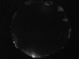
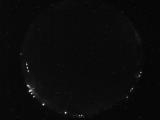
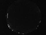
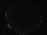
WSentinel capture software creates 3 primary event files; composite jpg, video(.mp4), and a spreadsheet(.csv) which contains a timehistory of energy, azimuth/elevation, and pixel mapping for the event as seen from the camera location: (see Spreadsheet Column Definitions here).
NOTE: The az/el data in the spreadsheet are approximations and offline calibration is required for refined assessments. Refined calibrations require use of the nightly composites which are available via the link on the right side of this page.
If you don't see an event, or you are looking for data over 30 days old, please contact us at: 
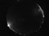
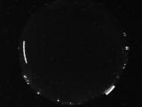
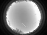
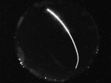
Node Events (last 30 days)
|
|
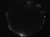
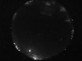
Date: May 1 2024
Time: 11:47:52.580 UTC
|
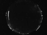
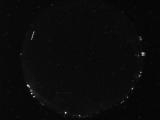
Date: May 1 2024
Time: 11:04:05.490 UTC
|
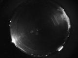
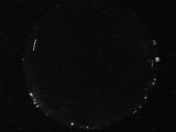
Date: May 1 2024
Time: 10:16:16.690 UTC
|
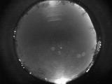
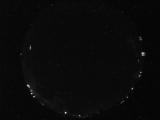
Date: May 1 2024
Time: 08:59:37.577 UTC
|
Date: May 1 2024
Time: 04:55:57.813 UTC
|
Date: May 1 2024
Time: 03:42:15.36 UTC
|
Date: May 1 2024
Time: 01:42:03.314 UTC
|
Date: April 30 2024
Time: 08:15:11.422 UTC
|
Date: April 30 2024
Time: 07:31:44.663 UTC
|
Date: April 30 2024
Time: 05:25:25.533 UTC
|
Date: April 30 2024
Time: 05:25:20.283 UTC
|
Date: April 30 2024
Time: 04:50:59.50 UTC
|
Date: April 30 2024
Time: 04:38:56.97 UTC
|
Date: April 30 2024
Time: 04:21:45.176 UTC
|
Date: April 30 2024
Time: 03:56:01.843 UTC
|
Date: April 30 2024
Time: 03:00:17.67 UTC
|
Date: April 29 2024
Time: 09:53:10.197 UTC
|
Date: April 29 2024
Time: 04:13:26.653 UTC
|
Date: April 29 2024
Time: 04:13:23.982 UTC
|
Date: April 29 2024
Time: 04:13:21.310 UTC
|
|
