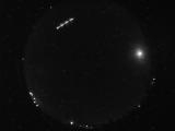
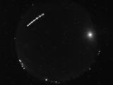
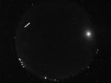
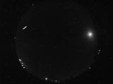
WSentinel capture software creates 3 primary event files; composite jpg, video(.mp4), and a spreadsheet(.csv) which contains a timehistory of energy, azimuth/elevation, and pixel mapping for the event as seen from the camera location: (see Spreadsheet Column Definitions here).
NOTE: The az/el data in the spreadsheet are approximations and offline calibration is required for refined assessments. Refined calibrations require use of the nightly composites which are available via the link on the right side of this page.
If you don't see an event, or you are looking for data over 30 days old, please contact us at: 
Node Events (last 30 days)
|
|
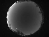
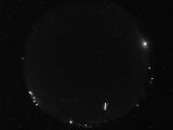
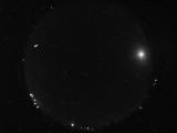
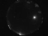
Date: April 17 2024
Time: 12:05:40.333 UTC
|
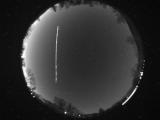
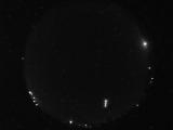
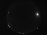
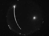
Date: April 17 2024
Time: 12:05:22.958 UTC
|
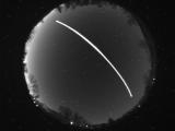
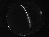
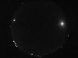
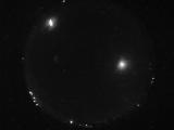
Date: April 17 2024
Time: 12:03:18.505 UTC
|
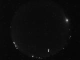
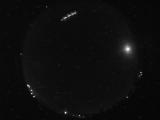
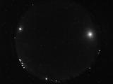
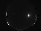
Date: April 17 2024
Time: 08:59:22.205 UTC
|
Date: April 17 2024
Time: 08:59:19.267 UTC
|
Date: April 17 2024
Time: 08:59:16.501 UTC
|
Date: April 17 2024
Time: 08:58:57.17 UTC
|
Date: April 17 2024
Time: 07:50:55.277 UTC
|
Date: April 17 2024
Time: 07:50:52.308 UTC
|
Date: April 17 2024
Time: 07:50:46.183 UTC
|
Date: April 17 2024
Time: 07:50:43.714 UTC
|
Date: April 17 2024
Time: 07:50:41.277 UTC
|
Date: April 17 2024
Time: 07:50:38.996 UTC
|
Date: April 17 2024
Time: 07:50:36.293 UTC
|
Date: April 17 2024
Time: 07:50:33.793 UTC
|
Date: April 17 2024
Time: 07:50:31.355 UTC
|
Date: April 17 2024
Time: 06:16:23.171 UTC
|
Date: April 17 2024
Time: 05:55:19.561 UTC
|
Date: April 17 2024
Time: 05:55:16.920 UTC
|
Date: April 17 2024
Time: 05:53:44.311 UTC
|
|
