WSentinel capture software creates 3 primary event files; composite jpg, video(.mp4), and a spreadsheet(.csv) which contains a timehistory of energy, azimuth/elevation, and pixel mapping for the event as seen from the camera location: (see Spreadsheet Column Definitions here).
NOTE: The az/el data in the spreadsheet are approximations and offline calibration is required for refined assessments. Refined calibrations require use of the nightly composites which are available via the link on the right side of this page.
If you don't see an event, or you are looking for data over 30 days old, please contact us at: 
Node Events (last 30 days)
|
|
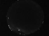
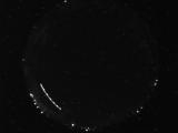
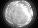
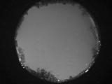
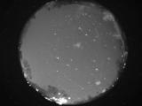
Date: April 28 2024
Time: 09:13:22.940 UTC
|
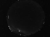
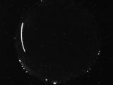
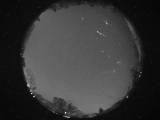
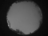
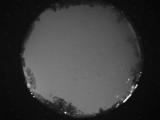
Date: April 28 2024
Time: 09:13:20.331 UTC
|
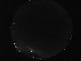
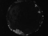
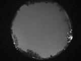
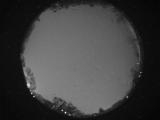
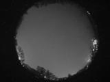
Date: April 28 2024
Time: 09:13:17.894 UTC
|
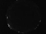
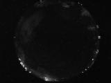
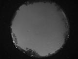
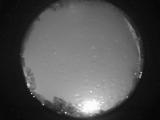
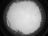
Date: April 28 2024
Time: 05:46:39.152 UTC
|
Date: April 28 2024
Time: 05:25:34.225 UTC
|
Date: April 28 2024
Time: 05:25:22.709 UTC
|
Date: April 28 2024
Time: 04:20:58.845 UTC
|
Date: April 28 2024
Time: 04:18:05.579 UTC
|
Date: April 28 2024
Time: 01:04:49.466 UTC
|
Date: April 27 2024
Time: 10:36:51.854 UTC
|
Date: April 27 2024
Time: 09:29:52.103 UTC
|
Date: April 27 2024
Time: 09:01:36.301 UTC
|
Date: April 27 2024
Time: 08:05:44.198 UTC
|
Date: April 27 2024
Time: 07:30:49.8 UTC
|
Date: April 27 2024
Time: 07:00:46.536 UTC
|
Date: April 27 2024
Time: 06:52:33.99 UTC
|
Date: April 27 2024
Time: 06:19:00.115 UTC
|
Date: April 27 2024
Time: 06:08:45.193 UTC
|
Date: April 27 2024
Time: 05:13:46.688 UTC
|
Date: April 27 2024
Time: 00:52:19.29 UTC
|
|
