WSentinel capture software creates 3 primary event files; composite jpg, video(.mp4), and a spreadsheet(.csv) which contains a timehistory of energy, azimuth/elevation, and pixel mapping for the event as seen from the camera location: (see Spreadsheet Column Definitions here).
NOTE: The az/el data in the spreadsheet are approximations and offline calibration is required for refined assessments. Refined calibrations require use of the nightly composites which are available via the link on the right side of this page.
If you don't see an event, or you are looking for data over 10 days old, please contact us at: 
Node Events (last 30 days)
|
|
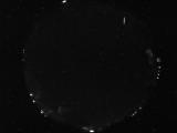
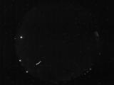
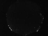
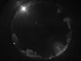
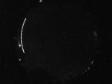
Date: June 12 2026
Time: 04:46:06.468 UTC
|
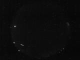
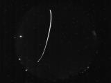
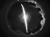
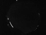
Date: June 11 2026
Time: 10:39:24.867 UTC
|
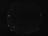
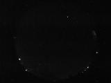
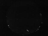
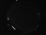
Date: June 11 2026
Time: 10:39:22.148 UTC
|
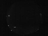
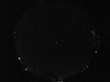
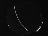
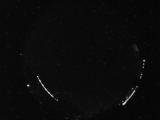
Date: June 11 2026
Time: 10:39:19.445 UTC
|
Date: June 11 2026
Time: 10:39:16.773 UTC
|
Date: June 11 2026
Time: 10:38:59.523 UTC
|
Date: June 11 2026
Time: 06:23:42.693 UTC
|
Date: June 11 2026
Time: 04:37:35.691 UTC
|
Date: June 11 2026
Time: 04:26:24.340 UTC
|
Date: June 10 2026
Time: 08:21:20.264 UTC
|
Date: June 10 2026
Time: 06:08:23.422 UTC
|
Date: June 10 2026
Time: 06:08:07.203 UTC
|
Date: June 10 2026
Time: 06:08:02.235 UTC
|
Date: June 10 2026
Time: 05:27:26.684 UTC
|
Date: June 9 2026
Time: 10:38:47.747 UTC
|
Date: June 9 2026
Time: 09:50:05.174 UTC
|
Date: June 9 2026
Time: 09:21:11.310 UTC
|
Date: June 9 2026
Time: 09:21:06.201 UTC
|
Date: June 9 2026
Time: 09:21:03.404 UTC
|
Date: June 9 2026
Time: 06:48:13.893 UTC
|
|
