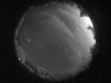
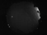
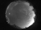
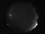
WSentinel capture software creates 3 primary event files; composite jpg, video(.mp4), and a spreadsheet(.csv) which contains a timehistory of energy, azimuth/elevation, and pixel mapping for the event as seen from the camera location: (see Spreadsheet Column Definitions here).
NOTE: The az/el data in the spreadsheet are approximations and offline calibration is required for refined assessments. Refined calibrations require use of the nightly composites which are available via the link on the right side of this page.
If you don't see an event, or you are looking for data over 30 days old, please contact us at: 
Node Events (last 30 days)
|
|

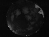
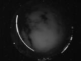
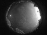
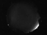
Date: August 16 2025
Time: 03:56:38.880 UTC
|
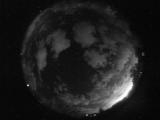
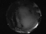
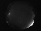
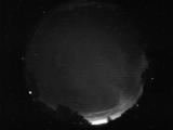
Date: August 16 2025
Time: 03:55:07.661 UTC
|
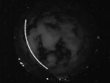
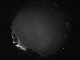
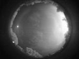
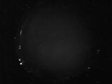
Date: August 16 2025
Time: 03:54:33.817 UTC
|
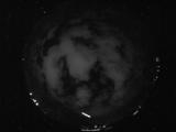
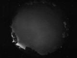
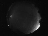
Date: August 16 2025
Time: 03:49:16.427 UTC
|
Date: August 16 2025
Time: 03:49:12.20 UTC
|
Date: August 16 2025
Time: 03:38:07.809 UTC
|
Date: August 16 2025
Time: 03:34:30.153 UTC
|
Date: August 15 2025
Time: 10:24:28.953 UTC
|
Date: August 15 2025
Time: 10:21:03.31 UTC
|
Date: August 15 2025
Time: 08:30:14.947 UTC
|
Date: August 15 2025
Time: 08:25:12.695 UTC
|
Date: August 15 2025
Time: 07:57:04.592 UTC
|
Date: August 15 2025
Time: 07:52:47.77 UTC
|
Date: August 15 2025
Time: 07:48:09.358 UTC
|
Date: August 15 2025
Time: 07:46:05.342 UTC
|
Date: August 15 2025
Time: 07:45:59.733 UTC
|
Date: August 15 2025
Time: 07:42:55.327 UTC
|
Date: August 15 2025
Time: 07:38:43.965 UTC
|
Date: August 15 2025
Time: 07:15:54.738 UTC
|
Date: August 15 2025
Time: 06:39:00.281 UTC
|
|
