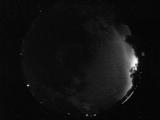
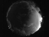
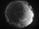
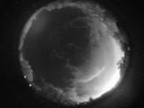
WSentinel capture software creates 3 primary event files; composite jpg, video(.mp4), and a spreadsheet(.csv) which contains a timehistory of energy, azimuth/elevation, and pixel mapping for the event as seen from the camera location: (see Spreadsheet Column Definitions here).
NOTE: The az/el data in the spreadsheet are approximations and offline calibration is required for refined assessments. Refined calibrations require use of the nightly composites which are available via the link on the right side of this page.
If you don't see an event, or you are looking for data over 30 days old, please contact us at: 
Node Events (last 30 days)
|
|
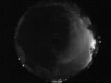
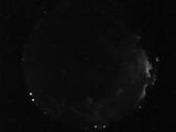
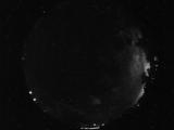
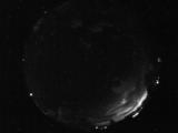
Date: August 16 2025
Time: 04:21:09.322 UTC
|
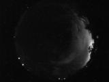
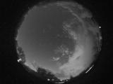
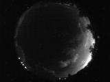
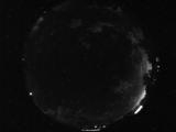
Date: August 16 2025
Time: 04:19:43.478 UTC
|
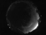
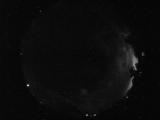
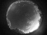
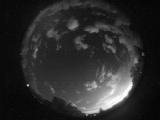
Date: August 16 2025
Time: 04:18:59.853 UTC
|
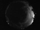
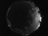
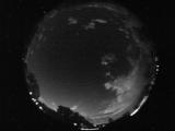
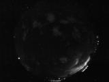
Date: August 16 2025
Time: 04:17:34.462 UTC
|
Date: August 16 2025
Time: 04:17:17.431 UTC
|
Date: August 16 2025
Time: 04:15:45.947 UTC
|
Date: August 16 2025
Time: 04:14:29.853 UTC
|
Date: August 16 2025
Time: 04:14:13.853 UTC
|
Date: August 16 2025
Time: 04:13:01.605 UTC
|
Date: August 16 2025
Time: 04:12:20.292 UTC
|
Date: August 16 2025
Time: 04:12:03.621 UTC
|
Date: August 16 2025
Time: 04:10:53.89 UTC
|
Date: August 16 2025
Time: 04:09:53.355 UTC
|
Date: August 16 2025
Time: 04:07:27.292 UTC
|
Date: August 16 2025
Time: 04:06:41.246 UTC
|
Date: August 16 2025
Time: 04:04:52.371 UTC
|
Date: August 16 2025
Time: 04:02:55.636 UTC
|
Date: August 16 2025
Time: 04:02:51.730 UTC
|
Date: August 16 2025
Time: 04:00:45.714 UTC
|
Date: August 16 2025
Time: 03:59:40.89 UTC
|
|
