WSentinel capture software creates 3 primary event files; composite jpg, video(.mp4), and a spreadsheet(.csv) which contains a timehistory of energy, azimuth/elevation, and pixel mapping for the event as seen from the camera location: (see Spreadsheet Column Definitions here).
NOTE: The az/el data in the spreadsheet are approximations and offline calibration is required for refined assessments. Refined calibrations require use of the nightly composites which are available via the link on the right side of this page.
If you don't see an event, or you are looking for data over 10 days old, please contact us at: 
Node Events (last 30 days)
|
|
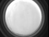
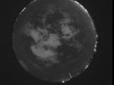
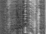
Date: June 13 2026
Time: 10:56:35.241 UTC
|
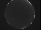
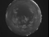
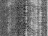
Date: June 13 2026
Time: 04:40:35.963 UTC
|
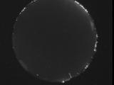
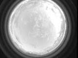
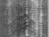
Date: June 13 2026
Time: 04:16:32.970 UTC
|
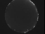
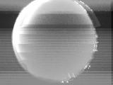
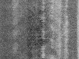
Date: June 13 2026
Time: 04:16:12.940 UTC
|
Date: June 13 2026
Time: 03:05:28.30 UTC
|
Date: June 13 2026
Time: 02:53:19.765 UTC
|
Date: June 13 2026
Time: 01:58:31.767 UTC
|
Date: June 12 2026
Time: 10:00:03.979 UTC
|
Date: June 12 2026
Time: 08:26:58.233 UTC
|
Date: June 12 2026
Time: 08:21:02.112 UTC
|
Date: June 12 2026
Time: 08:14:59.857 UTC
|
Date: June 12 2026
Time: 08:08:55.204 UTC
|
Date: June 12 2026
Time: 08:02:48.180 UTC
|
Date: June 12 2026
Time: 07:56:34.507 UTC
|
Date: June 12 2026
Time: 07:50:12.195 UTC
|
Date: June 12 2026
Time: 07:43:44.182 UTC
|
Date: June 12 2026
Time: 07:37:09.620 UTC
|
Date: June 12 2026
Time: 07:30:24.798 UTC
|
Date: June 12 2026
Time: 07:23:29.515 UTC
|
Date: June 12 2026
Time: 07:16:07.934 UTC
|
|
