WSentinel capture software creates 3 primary event files; composite jpg, video(.mp4), and a spreadsheet(.csv) which contains a timehistory of energy, azimuth/elevation, and pixel mapping for the event as seen from the camera location: (see Spreadsheet Column Definitions here).
NOTE: The az/el data in the spreadsheet are approximations and offline calibration is required for refined assessments. Refined calibrations require use of the nightly composites which are available via the link on the right side of this page.
If you don't see an event, or you are looking for data over 10 days old, please contact us at: 
Node Events (last 30 days)
|
|
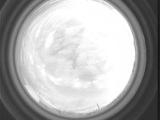
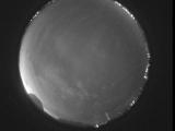
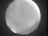
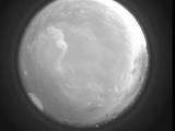
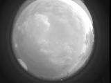
Date: June 15 2026
Time: 01:58:36.575 UTC
|
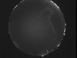
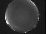
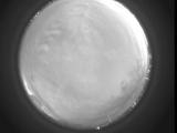
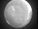
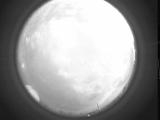
Date: June 14 2026
Time: 03:33:40.5 UTC
|
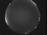
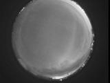
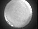
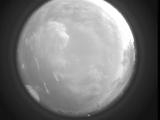
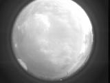
Date: June 14 2026
Time: 03:27:49.982 UTC
|
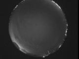
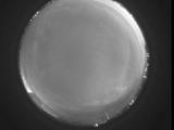
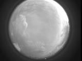
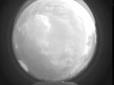
Date: June 14 2026
Time: 03:23:54.826 UTC
|
Date: June 14 2026
Time: 03:20:06.670 UTC
|
Date: June 14 2026
Time: 03:09:18.592 UTC
|
Date: June 14 2026
Time: 02:55:06.618 UTC
|
Date: June 14 2026
Time: 02:52:19.630 UTC
|
Date: June 14 2026
Time: 02:47:33.175 UTC
|
Date: June 14 2026
Time: 02:43:22.401 UTC
|
Date: June 14 2026
Time: 02:38:09.796 UTC
|
Date: June 14 2026
Time: 02:30:17.805 UTC
|

Date: June 14 2026
Time: 02:30:15.906 UTC
|
Date: June 14 2026
Time: 02:29:03.388 UTC
|
Date: June 14 2026
Time: 02:28:55.418 UTC
|
Date: June 14 2026
Time: 02:27:56.650 UTC
|
Date: June 14 2026
Time: 02:27:36.360 UTC
|
Date: June 14 2026
Time: 02:27:29.299 UTC
|
Date: June 14 2026
Time: 02:27:26.779 UTC
|
Date: June 14 2026
Time: 02:27:23.512 UTC
|
|
