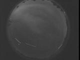
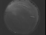
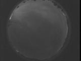
WSentinel capture software creates 3 primary event files; composite jpg, video(.mp4), and a spreadsheet(.csv) which contains a timehistory of energy, azimuth/elevation, and pixel mapping for the event as seen from the camera location: (see Spreadsheet Column Definitions here).
NOTE: The az/el data in the spreadsheet are approximations and offline calibration is required for refined assessments. Refined calibrations require use of the nightly composites which are available via the link on the right side of this page.
If you don't see an event, or you are looking for data over 30 days old, please contact us at: 
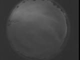
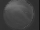
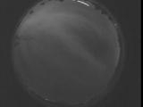
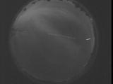
Node Events (last 30 days)
|
|
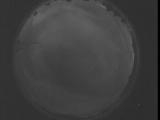
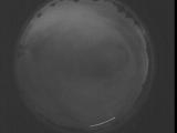
Date: August 29 2025
Time: 03:32:43.777 UTC
|
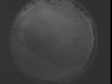
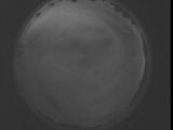
Date: August 29 2025
Time: 03:27:16.167 UTC
|
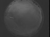
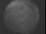
Date: August 29 2025
Time: 03:21:48.627 UTC
|
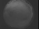
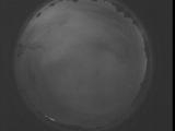
Date: August 29 2025
Time: 03:16:21.17 UTC
|
Date: August 29 2025
Time: 03:10:53.467 UTC
|
Date: August 29 2025
Time: 03:05:25.857 UTC
|
Date: August 29 2025
Time: 02:59:58.307 UTC
|
Date: August 29 2025
Time: 02:54:30.697 UTC
|
Date: August 29 2025
Time: 02:49:03.156 UTC
|
Date: August 29 2025
Time: 02:43:35.536 UTC
|
Date: August 29 2025
Time: 02:38:07.997 UTC
|
Date: August 29 2025
Time: 02:32:40.386 UTC
|
Date: August 29 2025
Time: 02:27:12.836 UTC
|
Date: August 29 2025
Time: 02:21:45.226 UTC
|
Date: August 29 2025
Time: 02:16:17.676 UTC
|
Date: August 29 2025
Time: 02:10:50.66 UTC
|

Date: August 29 2025
Time: 02:05:22.526 UTC
|
Date: August 29 2025
Time: 01:59:54.907 UTC
|
Date: August 29 2025
Time: 01:54:27.367 UTC
|
Date: August 29 2025
Time: 01:48:59.756 UTC
|
|
