WSentinel capture software creates 3 primary event files; composite jpg, video(.mp4), and a spreadsheet(.csv) which contains a timehistory of energy, azimuth/elevation, and pixel mapping for the event as seen from the camera location: (see Spreadsheet Column Definitions here).
NOTE: The az/el data in the spreadsheet are approximations and offline calibration is required for refined assessments. Refined calibrations require use of the nightly composites which are available via the link on the right side of this page.
If you don't see an event, or you are looking for data over 30 days old, please contact us at: 
Node Events (last 30 days)
|
|
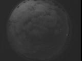
Date: September 3 2025
Time: 08:57:44.540 UTC
|
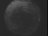
Date: September 3 2025
Time: 08:52:16.930 UTC
|
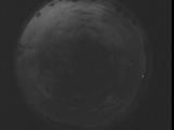
Date: September 3 2025
Time: 08:46:49.380 UTC
|
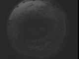
Date: September 3 2025
Time: 08:41:21.770 UTC
|
Date: September 3 2025
Time: 08:35:54.219 UTC
|
Date: September 3 2025
Time: 08:30:26.609 UTC
|
Date: September 3 2025
Time: 08:24:59.69 UTC
|
Date: September 3 2025
Time: 08:19:31.449 UTC
|

Date: September 3 2025
Time: 08:14:03.910 UTC
|
Date: September 3 2025
Time: 08:08:36.298 UTC
|
Date: September 3 2025
Time: 08:03:08.748 UTC
|
Date: September 3 2025
Time: 07:57:41.138 UTC
|
Date: September 3 2025
Time: 07:52:13.588 UTC
|
Date: September 3 2025
Time: 07:46:45.978 UTC
|
Date: September 3 2025
Time: 07:41:18.438 UTC
|

Date: September 3 2025
Time: 07:35:50.828 UTC
|
Date: September 3 2025
Time: 07:30:23.277 UTC
|
Date: September 3 2025
Time: 07:24:55.667 UTC
|
Date: September 3 2025
Time: 07:19:28.117 UTC
|
Date: September 3 2025
Time: 07:14:00.507 UTC
|
|
