WSentinel capture software creates 3 primary event files; composite jpg, video(.mp4), and a spreadsheet(.csv) which contains a timehistory of energy, azimuth/elevation, and pixel mapping for the event as seen from the camera location: (see Spreadsheet Column Definitions here).
NOTE: The az/el data in the spreadsheet are approximations and offline calibration is required for refined assessments. Refined calibrations require use of the nightly composites which are available via the link on the right side of this page.
If you don't see an event, or you are looking for data over 30 days old, please contact us at: 
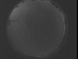
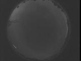
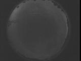
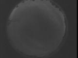
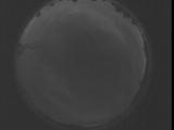
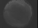
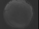
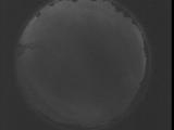
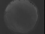
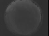
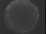
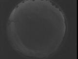
Node Events (last 30 days)
|
|
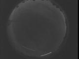
Date: August 29 2025
Time: 05:21:55.360 UTC
|
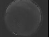
Date: August 29 2025
Time: 05:16:27.750 UTC
|
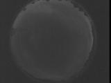
Date: August 29 2025
Time: 05:11:00.200 UTC
|

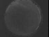
Date: August 29 2025
Time: 05:05:32.590 UTC
|
Date: August 29 2025
Time: 05:00:05.40 UTC
|
Date: August 29 2025
Time: 04:54:37.429 UTC
|
Date: August 29 2025
Time: 04:49:09.889 UTC
|
Date: August 29 2025
Time: 04:43:42.269 UTC
|
Date: August 29 2025
Time: 04:38:14.729 UTC
|
Date: August 29 2025
Time: 04:32:47.118 UTC
|
Date: August 29 2025
Time: 04:27:19.568 UTC
|
Date: August 29 2025
Time: 04:21:51.958 UTC
|
Date: August 29 2025
Time: 04:16:24.408 UTC
|
Date: August 29 2025
Time: 04:10:56.798 UTC
|
Date: August 29 2025
Time: 04:05:29.258 UTC
|
Date: August 29 2025
Time: 04:00:01.648 UTC
|
Date: August 29 2025
Time: 03:54:34.98 UTC
|
Date: August 29 2025
Time: 03:49:06.487 UTC
|
Date: August 29 2025
Time: 03:43:38.938 UTC
|
Date: August 29 2025
Time: 03:38:11.327 UTC
|
|
