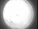
WSentinel capture software creates 3 primary event files; composite jpg, video(.mp4), and a spreadsheet(.csv) which contains a timehistory of energy, azimuth/elevation, and pixel mapping for the event as seen from the camera location: (see Spreadsheet Column Definitions here).
NOTE: The az/el data in the spreadsheet are approximations and offline calibration is required for refined assessments. Refined calibrations require use of the nightly composites which are available via the link on the right side of this page.
If you don't see an event, or you are looking for data over 30 days old, please contact us at: 
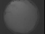
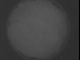
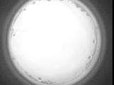
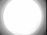
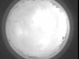
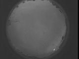
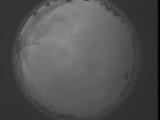
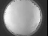
Node Events (last 30 days)
|
|
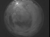
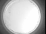
Date: September 5 2025
Time: 04:16:36.162 UTC
|
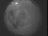
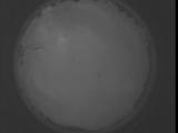
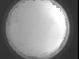
Date: September 5 2025
Time: 04:11:08.583 UTC
|
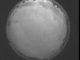
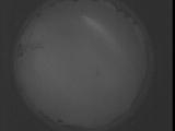
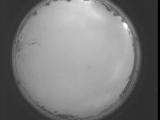
Date: September 5 2025
Time: 04:05:41.2 UTC
|
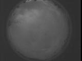
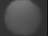
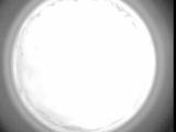
Date: September 5 2025
Time: 04:00:13.423 UTC
|
Date: September 5 2025
Time: 03:54:45.843 UTC
|
Date: September 5 2025
Time: 03:49:18.233 UTC
|
Date: September 5 2025
Time: 03:43:50.684 UTC
|
Date: September 5 2025
Time: 03:38:23.74 UTC
|
Date: September 5 2025
Time: 03:32:55.524 UTC
|
Date: September 5 2025
Time: 03:27:27.915 UTC
|
Date: September 5 2025
Time: 03:22:00.335 UTC
|
Date: September 5 2025
Time: 03:16:32.755 UTC
|
Date: September 5 2025
Time: 03:11:05.216 UTC
|
Date: September 5 2025
Time: 03:05:37.606 UTC
|
Date: September 5 2025
Time: 03:00:10.57 UTC
|
Date: September 5 2025
Time: 02:54:42.477 UTC
|
Date: September 5 2025
Time: 02:49:14.867 UTC
|
Date: September 5 2025
Time: 02:43:47.288 UTC
|
Date: September 5 2025
Time: 02:38:19.708 UTC
|
Date: September 5 2025
Time: 02:32:52.168 UTC
|
|
