WSentinel capture software creates 3 primary event files; composite jpg, video(.mp4), and a spreadsheet(.csv) which contains a timehistory of energy, azimuth/elevation, and pixel mapping for the event as seen from the camera location: (see Spreadsheet Column Definitions here).
NOTE: The az/el data in the spreadsheet are approximations and offline calibration is required for refined assessments. Refined calibrations require use of the nightly composites which are available via the link on the right side of this page.
If you don't see an event, or you are looking for data over 10 days old, please contact us at: 
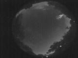
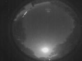
Node Events (last 30 days)
|
|
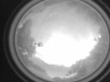
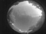
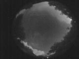
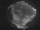
Date: May 31 2026
Time: 23:00:35.844 UTC
|
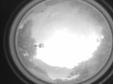
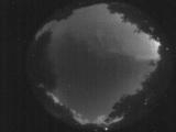
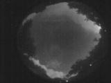
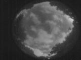
Date: May 31 2026
Time: 23:00:19.664 UTC
|
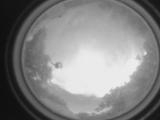
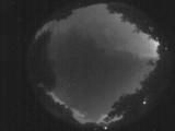
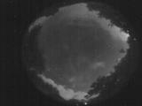
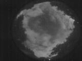
Date: May 31 2026
Time: 23:00:02.815 UTC
|
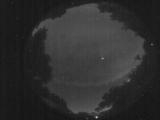
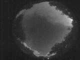
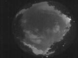
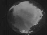
Date: May 31 2026
Time: 09:42:46.110 UTC
|
Date: May 31 2026
Time: 09:24:45.53 UTC
|
Date: May 31 2026
Time: 09:20:14.529 UTC
|
Date: May 31 2026
Time: 09:18:29.621 UTC
|
Date: May 31 2026
Time: 09:17:15.123 UTC
|
Date: May 31 2026
Time: 09:11:40.329 UTC
|
Date: May 31 2026
Time: 09:10:57.329 UTC
|
Date: May 31 2026
Time: 09:08:03.522 UTC
|
Date: May 31 2026
Time: 09:06:06.43 UTC
|
Date: May 31 2026
Time: 09:04:25.745 UTC
|
Date: May 31 2026
Time: 09:03:12.776 UTC
|
Date: May 31 2026
Time: 09:00:44.440 UTC
|
Date: May 31 2026
Time: 08:54:30.416 UTC
|
Date: May 31 2026
Time: 08:36:51.232 UTC
|
Date: May 31 2026
Time: 05:32:05.810 UTC
|
Date: May 31 2026
Time: 00:37:30.99 UTC
|
Date: May 30 2026
Time: 10:27:52.390 UTC
|
|
