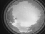
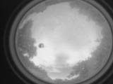
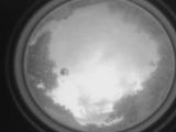
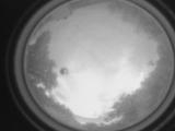
WSentinel capture software creates 3 primary event files; composite jpg, video(.mp4), and a spreadsheet(.csv) which contains a timehistory of energy, azimuth/elevation, and pixel mapping for the event as seen from the camera location: (see Spreadsheet Column Definitions here).
NOTE: The az/el data in the spreadsheet are approximations and offline calibration is required for refined assessments. Refined calibrations require use of the nightly composites which are available via the link on the right side of this page.
If you don't see an event, or you are looking for data over 10 days old, please contact us at: 
Node Events (last 30 days)
|
|
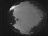
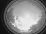
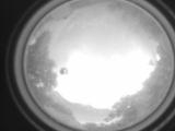
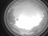
Date: June 1 2026
Time: 02:54:13.462 UTC
|
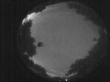
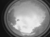
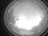
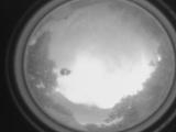
Date: June 1 2026
Time: 02:51:39.255 UTC
|
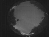
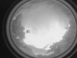
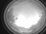
Date: June 1 2026
Time: 02:49:20.788 UTC
|
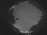
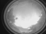
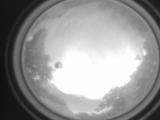
Date: June 1 2026
Time: 02:48:14.159 UTC
|
Date: May 31 2026
Time: 23:39:06.980 UTC
|
Date: May 31 2026
Time: 23:34:16.574 UTC
|
Date: May 31 2026
Time: 23:27:34.281 UTC
|
Date: May 31 2026
Time: 23:23:02.355 UTC
|
Date: May 31 2026
Time: 23:18:19.291 UTC
|
Date: May 31 2026
Time: 23:15:35.96 UTC
|
Date: May 31 2026
Time: 23:05:38.368 UTC
|
Date: May 31 2026
Time: 23:04:23.290 UTC
|
Date: May 31 2026
Time: 23:02:39.862 UTC
|
Date: May 31 2026
Time: 23:02:35.923 UTC
|
Date: May 31 2026
Time: 23:02:32.723 UTC
|
Date: May 31 2026
Time: 23:02:24.542 UTC
|
Date: May 31 2026
Time: 23:02:22.412 UTC
|

Date: May 31 2026
Time: 23:02:13.933 UTC
|
Date: May 31 2026
Time: 23:01:36.604 UTC
|

Date: May 31 2026
Time: 23:01:34.733 UTC
|
|
