WSentinel capture software creates 3 primary event files; composite jpg, video(.mp4), and a spreadsheet(.csv) which contains a timehistory of energy, azimuth/elevation, and pixel mapping for the event as seen from the camera location: (see Spreadsheet Column Definitions here).
NOTE: The az/el data in the spreadsheet are approximations and offline calibration is required for refined assessments. Refined calibrations require use of the nightly composites which are available via the link on the right side of this page.
If you don't see an event, or you are looking for data over 10 days old, please contact us at: 
Node Events (last 30 days)
|
|
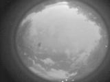
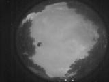
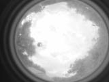
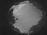
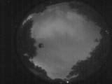
Date: June 2 2026
Time: 01:42:14.518 UTC
|
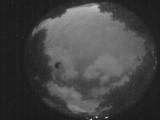
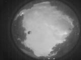
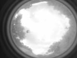
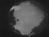
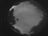
Date: June 2 2026
Time: 01:38:17.222 UTC
|
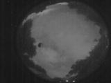
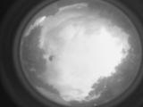
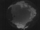
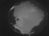
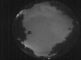
Date: June 2 2026
Time: 01:27:38.443 UTC
|
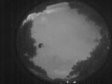
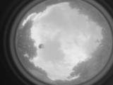
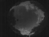
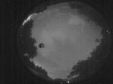
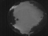
Date: June 2 2026
Time: 01:23:43.687 UTC
|
Date: June 2 2026
Time: 01:20:40.40 UTC
|
Date: June 2 2026
Time: 01:17:52.712 UTC
|
Date: June 2 2026
Time: 00:56:25.989 UTC
|
Date: June 1 2026
Time: 10:58:59.418 UTC
|
Date: June 1 2026
Time: 10:43:13.545 UTC
|
Date: June 1 2026
Time: 10:41:09.288 UTC
|
Date: June 1 2026
Time: 09:17:40.677 UTC
|
Date: June 1 2026
Time: 09:17:31.628 UTC
|
Date: June 1 2026
Time: 03:12:09.221 UTC
|
Date: June 1 2026
Time: 03:05:31.579 UTC
|
Date: June 1 2026
Time: 03:03:53.581 UTC
|
Date: June 1 2026
Time: 03:02:56.262 UTC
|
Date: June 1 2026
Time: 03:01:06.224 UTC
|
Date: June 1 2026
Time: 02:59:41.416 UTC
|
Date: June 1 2026
Time: 02:57:21.748 UTC
|
Date: June 1 2026
Time: 02:56:10.380 UTC
|
|
