WSentinel capture software creates 3 primary event files; composite jpg, video(.mp4), and a spreadsheet(.csv) which contains a timehistory of energy, azimuth/elevation, and pixel mapping for the event as seen from the camera location: (see Spreadsheet Column Definitions here).
NOTE: The az/el data in the spreadsheet are approximations and offline calibration is required for refined assessments. Refined calibrations require use of the nightly composites which are available via the link on the right side of this page.
If you don't see an event, or you are looking for data over 10 days old, please contact us at: 
Node Events (last 30 days)
|
|
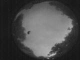
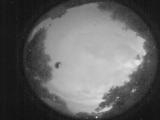
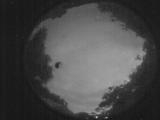
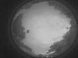
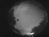
Date: June 2 2026
Time: 02:46:49.512 UTC
|
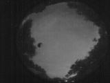
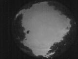
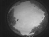
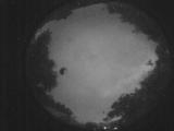
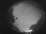
Date: June 2 2026
Time: 02:45:07.514 UTC
|
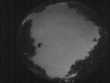
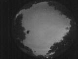
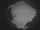
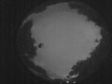
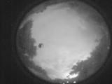
Date: June 2 2026
Time: 02:43:41.866 UTC
|
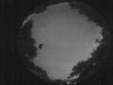
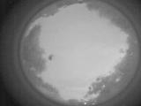
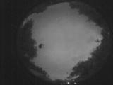
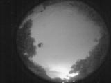
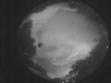
Date: June 2 2026
Time: 02:42:33.38 UTC
|
Date: June 2 2026
Time: 02:40:58.480 UTC
|
Date: June 2 2026
Time: 02:40:17.241 UTC
|
Date: June 2 2026
Time: 02:38:44.853 UTC
|
Date: June 2 2026
Time: 02:37:33.14 UTC
|
Date: June 2 2026
Time: 02:34:38.718 UTC
|
Date: June 2 2026
Time: 02:32:36.230 UTC
|
Date: June 2 2026
Time: 02:28:29.895 UTC
|
Date: June 2 2026
Time: 02:27:42.486 UTC
|
Date: June 2 2026
Time: 02:26:22.8 UTC
|
Date: June 2 2026
Time: 02:24:52.459 UTC
|
Date: June 2 2026
Time: 02:13:28.901 UTC
|
Date: June 2 2026
Time: 02:07:58.57 UTC
|
Date: June 2 2026
Time: 01:59:12.948 UTC
|
Date: June 2 2026
Time: 01:56:19.951 UTC
|
Date: June 2 2026
Time: 01:52:40.106 UTC
|
Date: June 2 2026
Time: 01:47:00.122 UTC
|
|
