WSentinel capture software creates 3 primary event files; composite jpg, video(.mp4), and a spreadsheet(.csv) which contains a timehistory of energy, azimuth/elevation, and pixel mapping for the event as seen from the camera location: (see Spreadsheet Column Definitions here).
NOTE: The az/el data in the spreadsheet are approximations and offline calibration is required for refined assessments. Refined calibrations require use of the nightly composites which are available via the link on the right side of this page.
If you don't see an event, or you are looking for data over 10 days old, please contact us at: 
Node Events (last 30 days)
|
|
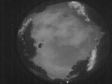
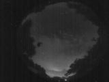
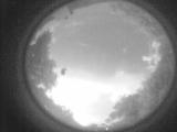
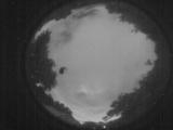
Date: June 3 2026
Time: 05:37:30.938 UTC
|
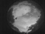
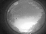
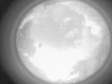
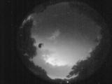
Date: June 3 2026
Time: 05:29:10.357 UTC
|
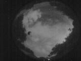
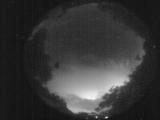
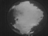
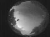
Date: June 3 2026
Time: 05:22:17.697 UTC
|
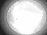
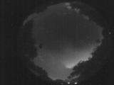
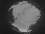
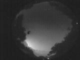
Date: June 3 2026
Time: 05:17:23.753 UTC
|
Date: June 3 2026
Time: 05:11:34.780 UTC
|
Date: June 3 2026
Time: 05:05:19.787 UTC
|
Date: June 3 2026
Time: 04:59:33.624 UTC
|
Date: June 3 2026
Time: 04:56:33.117 UTC
|
Date: June 3 2026
Time: 04:48:48.146 UTC
|
Date: June 3 2026
Time: 04:43:23.332 UTC
|
Date: June 3 2026
Time: 04:37:39.239 UTC
|
Date: June 3 2026
Time: 04:32:18.195 UTC
|
Date: June 3 2026
Time: 04:27:34.261 UTC
|
Date: June 3 2026
Time: 04:21:46.828 UTC
|
Date: June 3 2026
Time: 04:16:04.435 UTC
|
Date: June 3 2026
Time: 04:11:36.780 UTC
|
Date: June 3 2026
Time: 04:09:11.212 UTC
|
Date: June 3 2026
Time: 03:59:41.194 UTC
|
Date: June 3 2026
Time: 03:54:12.181 UTC
|
Date: June 3 2026
Time: 03:48:26.387 UTC
|
|
