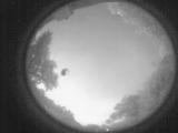
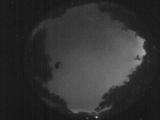
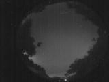
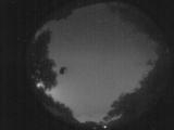
WSentinel capture software creates 3 primary event files; composite jpg, video(.mp4), and a spreadsheet(.csv) which contains a timehistory of energy, azimuth/elevation, and pixel mapping for the event as seen from the camera location: (see Spreadsheet Column Definitions here).
NOTE: The az/el data in the spreadsheet are approximations and offline calibration is required for refined assessments. Refined calibrations require use of the nightly composites which are available via the link on the right side of this page.
If you don't see an event, or you are looking for data over 10 days old, please contact us at: 
Node Events (last 30 days)
|
|
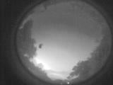
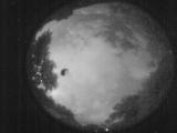
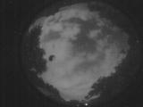
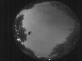
Date: June 3 2026
Time: 03:43:01.844 UTC
|
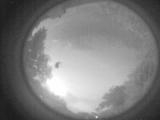
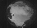
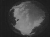
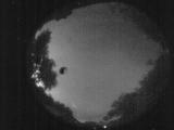
Date: June 3 2026
Time: 03:37:38.730 UTC
|
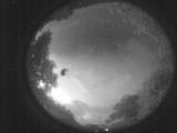
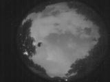
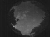
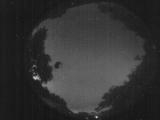
Date: June 3 2026
Time: 03:32:15.95 UTC
|
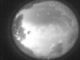
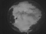
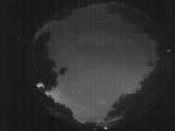
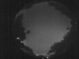
Date: June 3 2026
Time: 03:26:52.652 UTC
|
Date: June 3 2026
Time: 03:21:24.637 UTC
|
Date: June 3 2026
Time: 03:16:09.134 UTC
|
Date: June 3 2026
Time: 03:10:27.510 UTC
|
Date: June 3 2026
Time: 03:05:52.316 UTC
|
Date: June 3 2026
Time: 02:59:34.954 UTC
|
Date: June 3 2026
Time: 02:55:35.728 UTC
|
Date: June 3 2026
Time: 02:48:26.16 UTC
|
Date: June 3 2026
Time: 02:43:07.474 UTC
|
Date: June 3 2026
Time: 02:38:15.69 UTC
|
Date: June 3 2026
Time: 02:32:28.135 UTC
|
Date: June 3 2026
Time: 02:26:54.780 UTC
|
Date: June 3 2026
Time: 02:26:42.771 UTC
|
Date: June 3 2026
Time: 02:25:40.211 UTC
|
Date: June 3 2026
Time: 02:25:13.782 UTC
|
Date: June 3 2026
Time: 02:25:10.282 UTC
|
Date: June 3 2026
Time: 02:24:03.283 UTC
|
|
