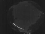
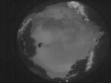
WSentinel capture software creates 3 primary event files; composite jpg, video(.mp4), and a spreadsheet(.csv) which contains a timehistory of energy, azimuth/elevation, and pixel mapping for the event as seen from the camera location: (see Spreadsheet Column Definitions here).
NOTE: The az/el data in the spreadsheet are approximations and offline calibration is required for refined assessments. Refined calibrations require use of the nightly composites which are available via the link on the right side of this page.
If you don't see an event, or you are looking for data over 10 days old, please contact us at: 
Node Events (last 30 days)
|
|
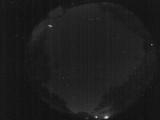
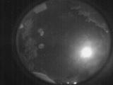
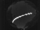
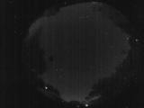
Date: June 5 2026
Time: 04:07:32.55 UTC
|
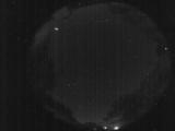
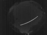
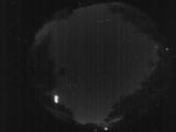
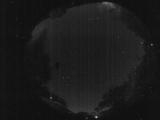
Date: June 5 2026
Time: 04:07:29.256 UTC
|

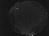
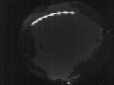
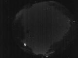
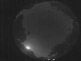
Date: June 5 2026
Time: 04:07:26.486 UTC
|
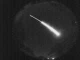
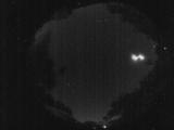
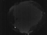
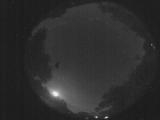
Date: June 5 2026
Time: 04:07:23.716 UTC
|
Date: June 5 2026
Time: 04:07:07.466 UTC
|
Date: June 5 2026
Time: 04:07:02.326 UTC
|
Date: June 5 2026
Time: 04:04:45.899 UTC
|
Date: June 5 2026
Time: 02:04:02.746 UTC
|
Date: June 5 2026
Time: 02:00:41.51 UTC
|
Date: June 5 2026
Time: 02:00:26.311 UTC
|
Date: June 5 2026
Time: 02:00:24.501 UTC
|
Date: June 5 2026
Time: 02:00:22.231 UTC
|
Date: June 5 2026
Time: 02:00:20.131 UTC
|
Date: June 5 2026
Time: 02:00:12.930 UTC
|
Date: June 5 2026
Time: 02:00:11.91 UTC
|
Date: June 4 2026
Time: 06:09:59.706 UTC
|
Date: June 4 2026
Time: 06:09:53.95 UTC
|

Date: June 4 2026
Time: 06:09:47.425 UTC
|
Date: June 4 2026
Time: 04:08:36.247 UTC
|
Date: June 3 2026
Time: 05:55:59.359 UTC
|
|
