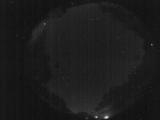
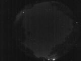
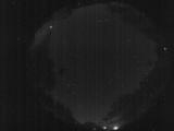
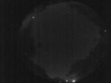
WSentinel capture software creates 3 primary event files; composite jpg, video(.mp4), and a spreadsheet(.csv) which contains a timehistory of energy, azimuth/elevation, and pixel mapping for the event as seen from the camera location: (see Spreadsheet Column Definitions here).
NOTE: The az/el data in the spreadsheet are approximations and offline calibration is required for refined assessments. Refined calibrations require use of the nightly composites which are available via the link on the right side of this page.
If you don't see an event, or you are looking for data over 10 days old, please contact us at: 
Node Events (last 30 days)
|
|
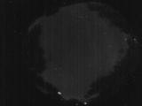
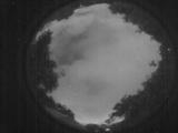
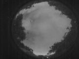
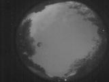
Date: June 8 2026
Time: 01:55:40.549 UTC
|
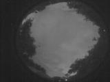
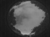
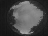
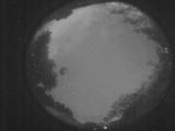
Date: June 7 2026
Time: 09:22:38.505 UTC
|
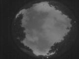
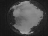
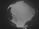
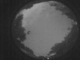
Date: June 7 2026
Time: 08:40:36.962 UTC
|
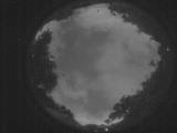
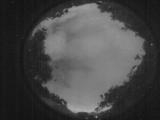
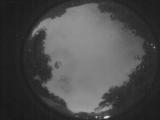
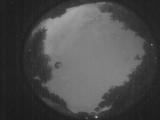
Date: June 7 2026
Time: 08:40:20.512 UTC
|
Date: June 7 2026
Time: 03:20:55.774 UTC
|
Date: June 7 2026
Time: 03:20:13.696 UTC
|
Date: June 7 2026
Time: 03:20:01.786 UTC
|
Date: June 7 2026
Time: 03:19:55.516 UTC
|
Date: June 7 2026
Time: 03:19:44.337 UTC
|
Date: June 7 2026
Time: 03:19:41.67 UTC
|
Date: June 7 2026
Time: 02:59:56.870 UTC
|
Date: June 7 2026
Time: 02:59:41.491 UTC
|
Date: June 7 2026
Time: 01:28:17.814 UTC
|
Date: June 7 2026
Time: 01:28:08.904 UTC
|
Date: June 7 2026
Time: 01:28:06.574 UTC
|
Date: June 7 2026
Time: 01:27:56.294 UTC
|
Date: June 5 2026
Time: 04:07:44.536 UTC
|
Date: June 5 2026
Time: 04:07:40.466 UTC
|
Date: June 5 2026
Time: 04:07:37.665 UTC
|
Date: June 5 2026
Time: 04:07:34.825 UTC
|
|
