Spalding Allsky Obs, Mountain View High, CA (37.3600, -122.0700, 60m) Node 17 Map Popup
Composites
WSentinel capture software creates 3 primary event files; composite jpg, video(.mp4), and a spreadsheet(.csv) which contains a timehistory of energy, azimuth/elevation, and pixel mapping for the event as seen from the camera location: (see Spreadsheet Column Definitions here).
NOTE: The az/el data in the spreadsheet are approximations and offline calibration is required for refined assessments. Refined calibrations require use of the nightly composites which are available via the link on the right side of this page.
If you don't see an event, or you are looking for data over 30 days old, please contact us at: 
Node Events (last 30 days)
|
|
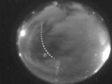
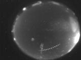
Date: September 11 2025
Time: 05:02:01.632 UTC
|
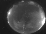
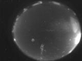
Date: September 11 2025
Time: 04:57:19.890 UTC
|
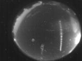
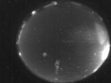
Date: September 11 2025
Time: 04:46:11.483 UTC
|
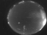
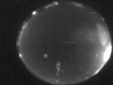
Date: September 11 2025
Time: 04:25:05.491 UTC
|
Date: September 11 2025
Time: 04:24:42.129 UTC
|
Date: September 11 2025
Time: 04:20:36.928 UTC
|
Date: September 11 2025
Time: 04:06:33.110 UTC
|
Date: September 11 2025
Time: 04:01:40.98 UTC
|

Date: September 11 2025
Time: 04:01:37.727 UTC
|

Date: September 11 2025
Time: 03:40:37.318 UTC
|

Date: September 11 2025
Time: 03:33:18.780 UTC
|
Date: September 11 2025
Time: 03:33:04.270 UTC
|
Date: September 11 2025
Time: 03:33:00.330 UTC
|
Date: September 11 2025
Time: 03:17:16.325 UTC
|
Date: September 11 2025
Time: 03:07:39.967 UTC
|
Date: September 10 2025
Time: 12:36:25.349 UTC
|
|
