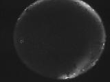
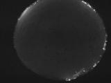
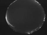
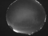
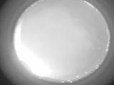
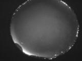
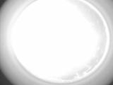
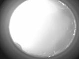
WSentinel capture software creates 3 primary event files; composite jpg, video(.mp4), and a spreadsheet(.csv) which contains a timehistory of energy, azimuth/elevation, and pixel mapping for the event as seen from the camera location: (see Spreadsheet Column Definitions here).
NOTE: The az/el data in the spreadsheet are approximations and offline calibration is required for refined assessments. Refined calibrations require use of the nightly composites which are available via the link on the right side of this page.
If you don't see an event, or you are looking for data over 30 days old, please contact us at: 
Node Events (last 30 days)
|
|
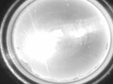
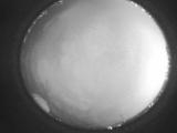
Date: May 7 2024
Time: 15:50:27.371 UTC
|
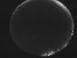
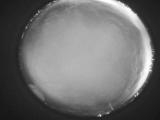
Date: May 7 2024
Time: 09:55:37.921 UTC
|

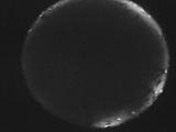
Date: May 7 2024
Time: 09:41:26.500 UTC
|
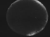
Date: May 7 2024
Time: 09:37:20.601 UTC
|
Date: May 7 2024
Time: 09:36:23.300 UTC
|
Date: May 7 2024
Time: 09:26:49.149 UTC
|
Date: May 7 2024
Time: 05:06:29.929 UTC
|
Date: May 7 2024
Time: 04:24:33.750 UTC
|
Date: May 7 2024
Time: 04:17:56.250 UTC
|
Date: May 7 2024
Time: 04:13:19.448 UTC
|
Date: May 7 2024
Time: 04:07:42.289 UTC
|
Date: May 7 2024
Time: 04:00:45.330 UTC
|
Date: May 7 2024
Time: 03:55:16.680 UTC
|

Date: May 7 2024
Time: 03:49:49.259 UTC
|
Date: May 7 2024
Time: 03:44:28.449 UTC
|
Date: May 7 2024
Time: 03:38:51.880 UTC
|
Date: May 7 2024
Time: 03:33:27.259 UTC
|
Date: May 7 2024
Time: 03:27:55.240 UTC
|
Date: May 7 2024
Time: 03:22:30.250 UTC
|
Date: May 7 2024
Time: 03:17:00.530 UTC
|
|
