WSentinel capture software creates 3 primary event files; composite jpg, video(.mp4), and a spreadsheet(.csv) which contains a timehistory of energy, azimuth/elevation, and pixel mapping for the event as seen from the camera location: (see Spreadsheet Column Definitions here).
NOTE: The az/el data in the spreadsheet are approximations and offline calibration is required for refined assessments. Refined calibrations require use of the nightly composites which are available via the link on the right side of this page.
If you don't see an event, or you are looking for data over 30 days old, please contact us at: 
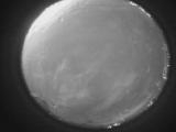
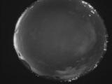
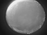
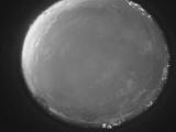
Node Events (last 30 days)
|
|
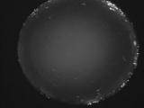
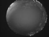
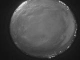
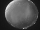
Date: May 4 2024
Time: 09:47:58.976 UTC
|
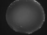
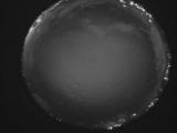
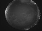
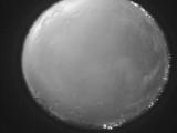
Date: May 4 2024
Time: 09:41:41.506 UTC
|
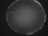
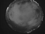
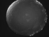
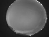
Date: May 4 2024
Time: 09:36:34.705 UTC
|
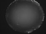
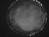
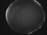
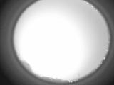
Date: May 4 2024
Time: 09:30:36.185 UTC
|
Date: May 4 2024
Time: 09:29:18.95 UTC
|
Date: May 4 2024
Time: 09:21:34.637 UTC
|
Date: May 4 2024
Time: 09:16:04.746 UTC
|
Date: May 4 2024
Time: 09:11:58.205 UTC
|
Date: May 4 2024
Time: 09:03:48.75 UTC
|
Date: May 4 2024
Time: 08:58:29.94 UTC
|
Date: May 4 2024
Time: 08:52:45.526 UTC
|
Date: May 4 2024
Time: 08:47:41.135 UTC
|
Date: May 4 2024
Time: 08:42:10.144 UTC
|
Date: May 4 2024
Time: 08:36:15.794 UTC
|
Date: May 4 2024
Time: 08:30:43.95 UTC
|
Date: May 4 2024
Time: 08:24:55.325 UTC
|
Date: May 4 2024
Time: 08:19:27.766 UTC
|
Date: May 4 2024
Time: 08:14:14.795 UTC
|
Date: May 4 2024
Time: 08:08:36.694 UTC
|
Date: May 4 2024
Time: 08:03:05.746 UTC
|
|
