WSentinel capture software creates 3 primary event files; composite jpg, video(.mp4), and a spreadsheet(.csv) which contains a timehistory of energy, azimuth/elevation, and pixel mapping for the event as seen from the camera location: (see Spreadsheet Column Definitions here).
NOTE: The az/el data in the spreadsheet are approximations and offline calibration is required for refined assessments. Refined calibrations require use of the nightly composites which are available via the link on the right side of this page.
If you don't see an event, or you are looking for data over 30 days old, please contact us at: 
Node Events (last 30 days)
|
|

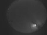
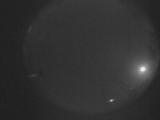
Date: May 7 2025
Time: 18:00:00.993 UTC
|

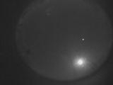
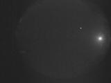
Date: May 7 2025
Time: 06:06:59.962 UTC
|
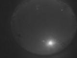
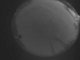
Date: May 7 2025
Time: 05:29:45.270 UTC
|

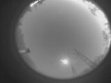
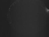
Date: May 7 2025
Time: 05:12:11.464 UTC
|
Date: May 7 2025
Time: 05:02:41.865 UTC
|
Date: May 7 2025
Time: 04:21:35.850 UTC
|
Date: May 7 2025
Time: 03:37:06.739 UTC
|
Date: May 6 2025
Time: 06:53:11.263 UTC
|
Date: May 4 2025
Time: 06:08:08.178 UTC
|
Date: April 28 2025
Time: 03:34:06.448 UTC
|
Date: April 27 2025
Time: 06:06:06.168 UTC
|
Date: April 26 2025
Time: 05:05:52.214 UTC
|
Date: April 25 2025
Time: 04:26:09.124 UTC
|
Date: April 24 2025
Time: 04:21:09.385 UTC
|
Date: April 23 2025
Time: 05:43:17.50 UTC
|
|
