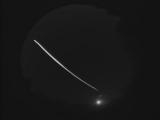
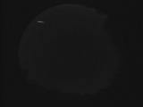
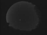
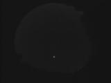
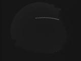
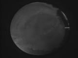
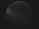
WSentinel capture software creates 3 primary event files; composite jpg, video(.mp4), and a spreadsheet(.csv) which contains a timehistory of energy, azimuth/elevation, and pixel mapping for the event as seen from the camera location: (see Spreadsheet Column Definitions here).
NOTE: The az/el data in the spreadsheet are approximations and offline calibration is required for refined assessments. Refined calibrations require use of the nightly composites which are available via the link on the right side of this page.
If you don't see an event, or you are looking for data over 30 days old, please contact us at: 
Node Events (last 30 days)
|
|
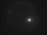
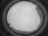
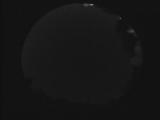
Date: October 9 2025
Time: 09:00:10.841 UTC
|
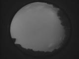
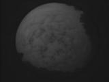
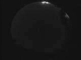
Date: October 8 2025
Time: 02:03:07.482 UTC
|
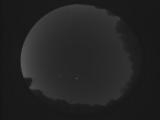
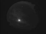
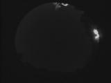
Date: October 5 2025
Time: 10:21:45.653 UTC
|
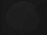
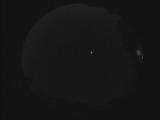
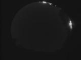
Date: October 2 2025
Time: 09:44:27.559 UTC
|
Date: October 2 2025
Time: 01:56:08.63 UTC
|
Date: October 1 2025
Time: 00:14:50.0 UTC
|
Date: September 29 2025
Time: 10:10:13.458 UTC
|
Date: September 29 2025
Time: 00:24:19.110 UTC
|
Date: September 29 2025
Time: 00:18:50.999 UTC
|
Date: September 25 2025
Time: 00:09:36.401 UTC
|
Date: September 23 2025
Time: 06:57:44.528 UTC
|
Date: September 22 2025
Time: 07:10:56.7 UTC
|
Date: September 19 2025
Time: 10:45:48.376 UTC
|
Date: September 14 2025
Time: 01:35:03.252 UTC
|
Date: September 13 2025
Time: 08:54:28.699 UTC
|
Date: September 11 2025
Time: 00:50:00.68 UTC
|
Date: September 11 2025
Time: 00:41:30.888 UTC
|
Date: September 11 2025
Time: 00:40:21.430 UTC
|
Date: September 11 2025
Time: 00:40:00.638 UTC
|
Date: September 11 2025
Time: 00:39:47.598 UTC
|
|
