WSentinel capture software creates 3 primary event files; composite jpg, video(.mp4), and a spreadsheet(.csv) which contains a timehistory of energy, azimuth/elevation, and pixel mapping for the event as seen from the camera location: (see Spreadsheet Column Definitions here).
NOTE: The az/el data in the spreadsheet are approximations and offline calibration is required for refined assessments. Refined calibrations require use of the nightly composites which are available via the link on the right side of this page.
If you don't see an event, or you are looking for data over 30 days old, please contact us at: 
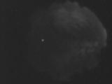
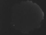
Node Events (last 30 days)
|
|
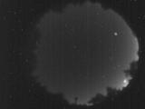
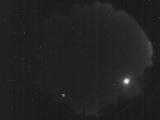
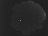
Date: September 19 2025
Time: 12:51:33.523 UTC
|
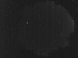
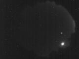
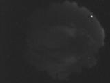
Date: September 19 2025
Time: 12:17:17.664 UTC
|
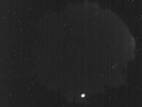
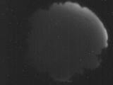
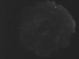
Date: September 19 2025
Time: 11:43:16.646 UTC
|
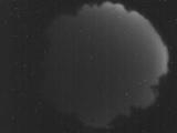
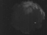
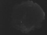
Date: September 17 2025
Time: 05:11:19.225 UTC
|
Date: September 16 2025
Time: 11:30:55.975 UTC
|
Date: September 16 2025
Time: 10:41:16.962 UTC
|
Date: September 15 2025
Time: 09:57:15.688 UTC
|
Date: September 14 2025
Time: 04:54:31.591 UTC
|
Date: September 13 2025
Time: 03:52:53.784 UTC
|
Date: August 31 2025
Time: 11:55:45.891 UTC
|
Date: August 31 2025
Time: 11:41:04.512 UTC
|
Date: August 31 2025
Time: 11:22:20.715 UTC
|
Date: August 31 2025
Time: 10:40:21.863 UTC
|
Date: August 31 2025
Time: 06:18:23.464 UTC
|
|
