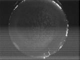
WSentinel capture software creates 3 primary event files; composite jpg, video(.mp4), and a spreadsheet(.csv) which contains a timehistory of energy, azimuth/elevation, and pixel mapping for the event as seen from the camera location: (see Spreadsheet Column Definitions here).
NOTE: The az/el data in the spreadsheet are approximations and offline calibration is required for refined assessments. Refined calibrations require use of the nightly composites which are available via the link on the right side of this page.
If you don't see an event, or you are looking for data over 10 days old, please contact us at: 
Node Events (last 30 days)
|
|
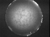
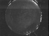
Date: June 15 2026
Time: 04:49:10.82 UTC
|
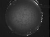
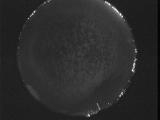
Date: June 15 2026
Time: 04:43:41.438 UTC
|
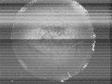
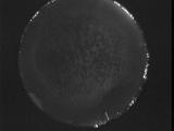
Date: June 15 2026
Time: 04:40:11.552 UTC
|
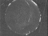
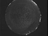
Date: June 15 2026
Time: 04:40:09.131 UTC
|
Date: June 15 2026
Time: 04:40:06.982 UTC
|
Date: June 15 2026
Time: 04:40:04.832 UTC
|
Date: June 15 2026
Time: 04:40:01.662 UTC
|
Date: June 15 2026
Time: 04:39:57.123 UTC
|
Date: June 15 2026
Time: 04:32:39.172 UTC
|
Date: June 15 2026
Time: 04:32:04.803 UTC
|
Date: June 15 2026
Time: 04:03:41.689 UTC
|

Date: June 15 2026
Time: 03:48:56.295 UTC
|
Date: June 15 2026
Time: 03:43:02.351 UTC
|
Date: June 15 2026
Time: 03:41:29.43 UTC
|
Date: June 15 2026
Time: 03:41:23.403 UTC
|
Date: June 15 2026
Time: 03:41:20.403 UTC
|
Date: June 15 2026
Time: 03:41:10.592 UTC
|
Date: June 15 2026
Time: 03:41:03.753 UTC
|

Date: June 15 2026
Time: 03:09:51.194 UTC
|
Date: June 15 2026
Time: 03:04:23.610 UTC
|
|
