WSentinel capture software creates 3 primary event files; composite jpg, video(.mp4), and a spreadsheet(.csv) which contains a timehistory of energy, azimuth/elevation, and pixel mapping for the event as seen from the camera location: (see Spreadsheet Column Definitions here).
NOTE: The az/el data in the spreadsheet are approximations and offline calibration is required for refined assessments. Refined calibrations require use of the nightly composites which are available via the link on the right side of this page.
If you don't see an event, or you are looking for data over 30 days old, please contact us at: 
Node Events (last 30 days)
|
|
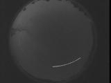
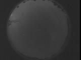
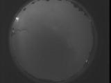
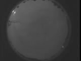
Date: September 6 2025
Time: 08:49:36.712 UTC
|
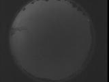
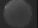
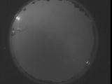
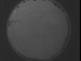
Date: September 6 2025
Time: 08:44:09.162 UTC
|
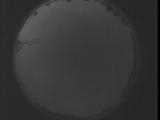
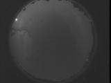
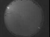
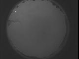
Date: September 6 2025
Time: 08:38:41.552 UTC
|
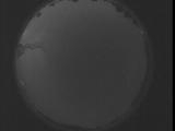
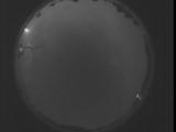
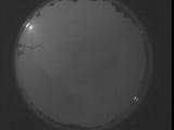
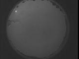
Date: September 6 2025
Time: 08:33:14.12 UTC
|
Date: September 6 2025
Time: 08:27:46.393 UTC
|
Date: September 6 2025
Time: 08:22:18.853 UTC
|
Date: September 6 2025
Time: 08:16:51.243 UTC
|
Date: September 6 2025
Time: 08:11:23.694 UTC
|
Date: September 6 2025
Time: 08:05:56.84 UTC
|
Date: September 6 2025
Time: 08:00:28.534 UTC
|
Date: September 6 2025
Time: 07:55:00.925 UTC
|
Date: September 6 2025
Time: 07:49:33.385 UTC
|
Date: September 6 2025
Time: 07:44:05.766 UTC
|
Date: September 6 2025
Time: 07:38:38.226 UTC
|
Date: September 6 2025
Time: 07:33:10.606 UTC
|
Date: September 6 2025
Time: 07:27:43.67 UTC
|
Date: September 6 2025
Time: 07:22:15.457 UTC
|
Date: September 6 2025
Time: 07:16:47.908 UTC
|
Date: September 6 2025
Time: 07:11:20.298 UTC
|
Date: September 6 2025
Time: 07:05:52.748 UTC
|
|
