WSentinel capture software creates 3 primary event files; composite jpg, video(.mp4), and a spreadsheet(.csv) which contains a timehistory of energy, azimuth/elevation, and pixel mapping for the event as seen from the camera location: (see Spreadsheet Column Definitions here).
NOTE: The az/el data in the spreadsheet are approximations and offline calibration is required for refined assessments. Refined calibrations require use of the nightly composites which are available via the link on the right side of this page.
If you don't see an event, or you are looking for data over 30 days old, please contact us at: 
Node Events (last 30 days)
|
|
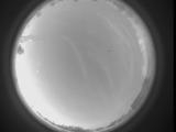
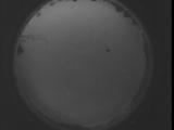
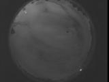
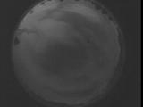
Date: May 1 2025
Time: 00:22:15.15 UTC
|
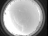
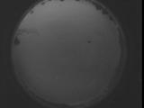
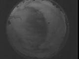
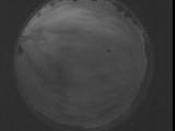
Date: May 1 2025
Time: 00:08:22.157 UTC
|
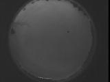
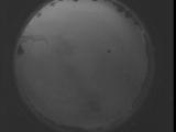
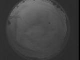
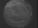
Date: April 30 2025
Time: 08:55:03.688 UTC
|
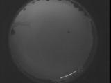
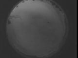
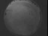
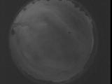
Date: April 30 2025
Time: 08:49:36.69 UTC
|
Date: April 30 2025
Time: 08:44:08.530 UTC
|

Date: April 30 2025
Time: 08:38:40.911 UTC
|
Date: April 30 2025
Time: 08:33:13.371 UTC
|

Date: April 30 2025
Time: 08:27:45.762 UTC
|
Date: April 30 2025
Time: 08:22:18.213 UTC
|
Date: April 30 2025
Time: 08:16:50.604 UTC
|
Date: April 30 2025
Time: 08:11:23.55 UTC
|
Date: April 30 2025
Time: 08:05:55.446 UTC
|
Date: April 30 2025
Time: 08:00:27.896 UTC
|
Date: April 30 2025
Time: 07:55:00.287 UTC
|
Date: April 30 2025
Time: 07:49:32.748 UTC
|
Date: April 30 2025
Time: 07:44:05.129 UTC
|
Date: April 30 2025
Time: 07:38:37.590 UTC
|
Date: April 30 2025
Time: 07:33:09.981 UTC
|
Date: April 30 2025
Time: 07:27:42.432 UTC
|
Date: April 30 2025
Time: 07:22:14.823 UTC
|
|
