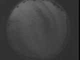
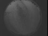
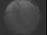
WSentinel capture software creates 3 primary event files; composite jpg, video(.mp4), and a spreadsheet(.csv) which contains a timehistory of energy, azimuth/elevation, and pixel mapping for the event as seen from the camera location: (see Spreadsheet Column Definitions here).
NOTE: The az/el data in the spreadsheet are approximations and offline calibration is required for refined assessments. Refined calibrations require use of the nightly composites which are available via the link on the right side of this page.
If you don't see an event, or you are looking for data over 30 days old, please contact us at: 
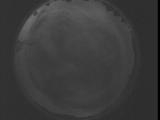
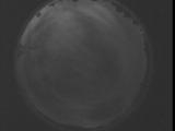
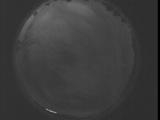
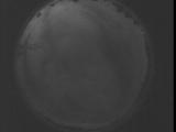
Node Events (last 30 days)
|
|
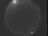
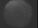
Date: September 2 2025
Time: 02:06:22.606 UTC
|
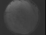
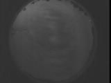
Date: August 29 2025
Time: 08:54:50.907 UTC
|

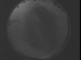
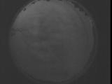
Date: August 29 2025
Time: 08:49:23.357 UTC
|
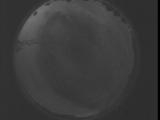
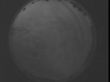
Date: August 29 2025
Time: 08:43:55.747 UTC
|
Date: August 29 2025
Time: 08:38:28.196 UTC
|
Date: August 29 2025
Time: 08:33:00.586 UTC
|
Date: August 29 2025
Time: 08:27:33.46 UTC
|
Date: August 29 2025
Time: 08:22:05.426 UTC
|
Date: August 29 2025
Time: 08:16:37.886 UTC
|
Date: August 29 2025
Time: 08:11:10.276 UTC
|
Date: August 29 2025
Time: 08:05:42.725 UTC
|
Date: August 29 2025
Time: 08:00:15.115 UTC
|
Date: August 29 2025
Time: 07:54:47.565 UTC
|
Date: August 29 2025
Time: 07:49:19.955 UTC
|
Date: August 29 2025
Time: 07:43:52.414 UTC
|
Date: August 29 2025
Time: 07:38:24.795 UTC
|
Date: August 29 2025
Time: 07:32:57.254 UTC
|
Date: August 29 2025
Time: 07:27:29.645 UTC
|
Date: August 29 2025
Time: 07:22:02.94 UTC
|
Date: August 29 2025
Time: 07:16:34.484 UTC
|
|
