WSentinel capture software creates 3 primary event files; composite jpg, video(.mp4), and a spreadsheet(.csv) which contains a timehistory of energy, azimuth/elevation, and pixel mapping for the event as seen from the camera location: (see Spreadsheet Column Definitions here).
NOTE: The az/el data in the spreadsheet are approximations and offline calibration is required for refined assessments. Refined calibrations require use of the nightly composites which are available via the link on the right side of this page.
If you don't see an event, or you are looking for data over 30 days old, please contact us at: 
Node Events (last 30 days)
|
|
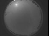
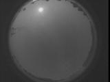
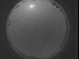
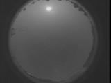
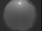
Date: September 6 2025
Time: 05:16:41.176 UTC
|
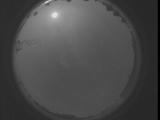
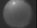
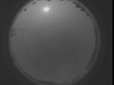
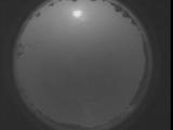
Date: September 6 2025
Time: 05:11:13.566 UTC
|
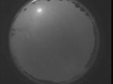
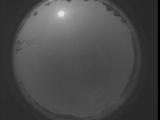
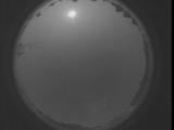
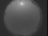
Date: September 6 2025
Time: 05:05:46.27 UTC
|
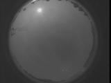
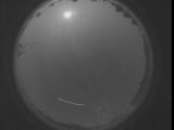
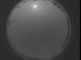
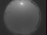
Date: September 6 2025
Time: 05:00:18.407 UTC
|

Date: September 6 2025
Time: 04:54:50.867 UTC
|
Date: September 6 2025
Time: 04:49:23.258 UTC
|
Date: September 6 2025
Time: 04:43:55.709 UTC
|
Date: September 6 2025
Time: 04:38:28.99 UTC
|
Date: September 6 2025
Time: 04:33:00.549 UTC
|
Date: September 6 2025
Time: 04:27:32.939 UTC
|
Date: September 6 2025
Time: 04:22:05.390 UTC
|
Date: September 6 2025
Time: 04:16:37.781 UTC
|

Date: September 6 2025
Time: 04:11:10.241 UTC
|

Date: September 6 2025
Time: 04:05:42.621 UTC
|
Date: September 6 2025
Time: 04:00:15.82 UTC
|
Date: September 6 2025
Time: 03:54:47.462 UTC
|
Date: September 6 2025
Time: 03:49:19.923 UTC
|
Date: September 6 2025
Time: 03:43:52.313 UTC
|
Date: September 6 2025
Time: 03:38:24.764 UTC
|
Date: September 6 2025
Time: 03:32:57.154 UTC
|
|
