WSentinel capture software creates 3 primary event files; composite jpg, video(.mp4), and a spreadsheet(.csv) which contains a timehistory of energy, azimuth/elevation, and pixel mapping for the event as seen from the camera location: (see Spreadsheet Column Definitions here).
NOTE: The az/el data in the spreadsheet are approximations and offline calibration is required for refined assessments. Refined calibrations require use of the nightly composites which are available via the link on the right side of this page.
If you don't see an event, or you are looking for data over 30 days old, please contact us at: 
Node Events (last 30 days)
|
|
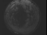
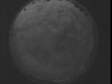
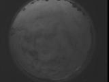
Date: September 3 2025
Time: 05:19:21.385 UTC
|
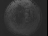
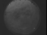
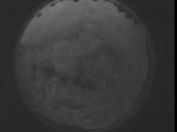
Date: September 3 2025
Time: 05:13:53.775 UTC
|
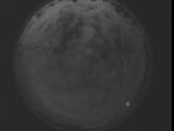
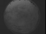
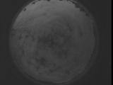
Date: September 3 2025
Time: 05:08:26.225 UTC
|
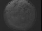
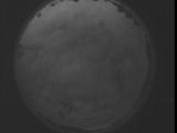
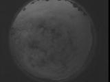
Date: September 3 2025
Time: 05:02:58.616 UTC
|
Date: September 3 2025
Time: 04:57:31.76 UTC
|
Date: September 3 2025
Time: 04:52:03.456 UTC
|
Date: September 3 2025
Time: 04:46:35.916 UTC
|
Date: September 3 2025
Time: 04:41:08.306 UTC
|
Date: September 3 2025
Time: 04:35:40.756 UTC
|
Date: September 3 2025
Time: 04:30:13.147 UTC
|
Date: September 3 2025
Time: 04:24:45.596 UTC
|
Date: September 3 2025
Time: 04:19:17.986 UTC
|
Date: September 3 2025
Time: 04:13:50.446 UTC
|
Date: September 3 2025
Time: 04:08:22.826 UTC
|
Date: September 3 2025
Time: 04:02:55.286 UTC
|
Date: September 3 2025
Time: 03:57:27.676 UTC
|
Date: September 3 2025
Time: 03:52:00.126 UTC
|
Date: September 3 2025
Time: 03:46:32.516 UTC
|
Date: September 3 2025
Time: 03:41:04.967 UTC
|
Date: September 3 2025
Time: 03:35:37.357 UTC
|
|
